The Prince of Wales Fort is a historic bastion fort on Hudson Bay across the Churchill River from Churchill, Manitoba, Canada.
Prince of Wales Fort
Plan of the fort
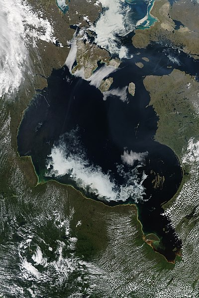
Hudson Bay, sometimes called Hudson's Bay, is a large body of saltwater in northeastern Canada with a surface area of 1,230,000 km2 (470,000 sq mi). It is located north of Ontario, west of Quebec, northeast of Manitoba, and southeast of Nunavut, but politically entirely part of Nunavut. It is an inland marginal sea of the Arctic Ocean. The Hudson Strait provides a connection between the Labrador Sea and the Atlantic Ocean in the northeast, while the Foxe Channel connects the Hudson Bay with the Arctic Ocean in the north. It drains a very large area, about 3,861,400 km2 (1,490,900 sq mi), that includes parts of southeastern Nunavut, Alberta, Saskatchewan, Ontario, Quebec, all of Manitoba, and parts of the U.S. states of North Dakota, South Dakota, Minnesota, and Montana. Hudson Bay's southern arm is called James Bay.
Hudson Bay, Canada
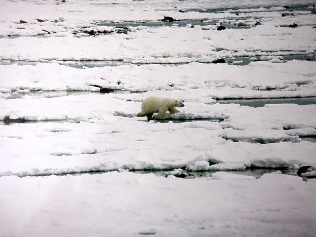
Polar bear walks on newly formed ice in early November at Hudson Bay.
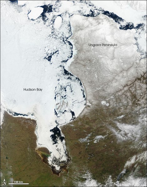
In late spring (May), large chunks of ice float near the eastern shore of the bay, while the centre of the bay remains frozen to the west. Between 1971 and 2007, the length of the ice-free season increased by about seven days in the southwestern part of the Hudson Bay, historically the last area to thaw.