The Provo River is located in Utah County and Wasatch County, Utah, in the United States. It rises in the Uinta Mountains at Wall Lake and flows about 71 miles (114 km) southwest to Utah Lake at the city of Provo, Utah.
Upper Provo River
Looking downstream on the lower Provo River in the fall.
A section of the Provo River Parkway Trail along the Provo River.
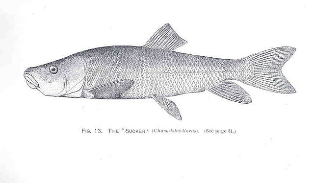
June Sucker Fish
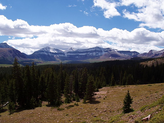
The Uinta Mountains are an east-west trending chain of mountains in northeastern Utah extending a short distance into northwest Colorado and slightly into southwestern Wyoming in the United States. As a subrange of the Rocky Mountains, they are unusual for being the highest range in the contiguous United States running east to west, and lie approximately 100 miles (160 km) east of Salt Lake City. The range has peaks ranging from 11,000 to 13,528 feet, with the highest point being Kings Peak, also the highest point in Utah. The Mirror Lake Highway crosses the western half of the Uintas on its way to Wyoming. Utah State Route 44 crosses the east end of the Uintas between Vernal and Manila.
This view of Kings Peak and the Henry's Fork Basin shows the cliff bands and basins typical throughout the Uintas.
Hayden Peak and Mount Agassiz seen from Bald Mountain
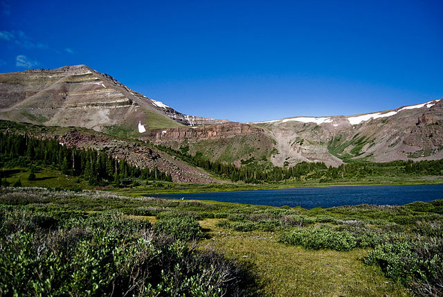
Gilbert Peak seen from lake 151