The Puhipuhi Embayment is a volcanic feature in Taupo Volcanic Zone of New Zealand associated with the collapse of the Ōkataina Caldera wall to its west. Its latest significant volcanic eruption was about 31,500 years ago and this dating required a reassessment of recent activity at the Eastern extension of the Tarawera vent alignment.
Okataina Volcanic Centre (approximate thick white border) relationships to other nearby volcanic and tectonic structures. The Puhipuhi Embayment is to its east.
The Taupō Volcanic Zone (TVZ) is a volcanic area in the North Island of New Zealand that has been active for at least the past two million years and is still highly active.
Mount Ruapehu marks its south-western end and the zone runs north-eastward through the Taupō and Rotorua areas and offshore into the Bay of Plenty. It is part of a larger Central Volcanic Region that extends to the Coromandel Peninsula and has been active for four million years. The zone is contained within the tectonic intra-arc continental Taupō Rift and this rift volcanic zone is widening unevenly east–west with the greatest rate of widening at the Bay of Plenty coast, the least at Mount Ruapehu and a rate of about 8 mm (0.31 in) per year at Taupō. The zone is named after Lake Taupō, the flooded caldera of the largest volcano in the zone, the Taupō Volcano and contains a large central volcanic plateau as well as other landforms.
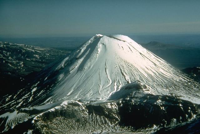
Mount Ngauruhoe
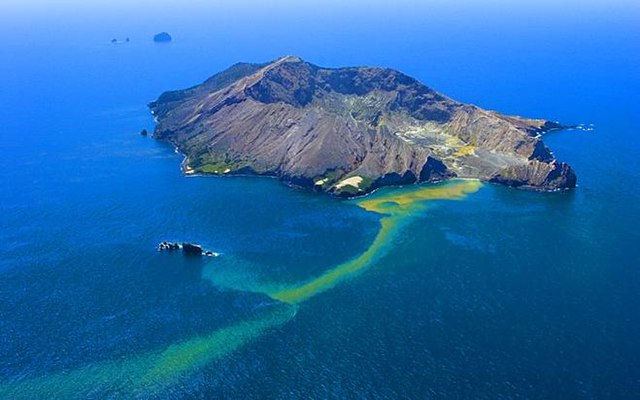
Whakaari / White Island
Lady Knox Geyser, Waiotapu geothermal area
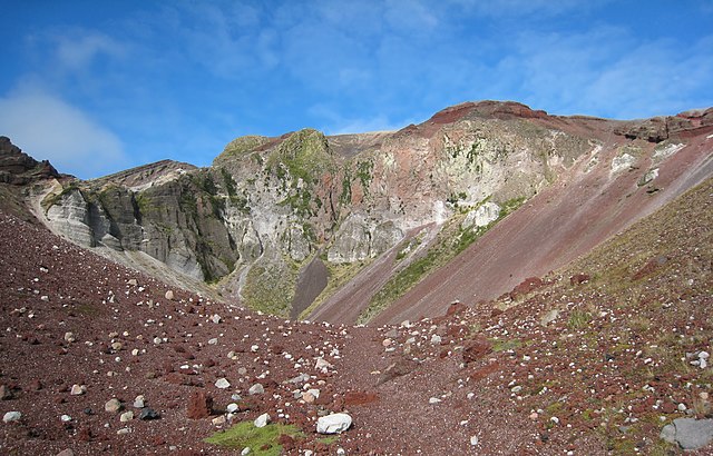
In 1886, Mount Tarawera produced New Zealand's largest historic eruption since European colonisation


