Queen Street is a street in the Melbourne central business district, Victoria, Australia. The street forms part of the original Hoddle Grid and was laid out in 1837. It runs roughly north-south and is primarily a commercial and financial thoroughfare of the central business district.
Queen Street, Melbourne
A classic underground toilet on Queen Street
South-west corner of the intersection of Collins and Queen Street, Melbourne
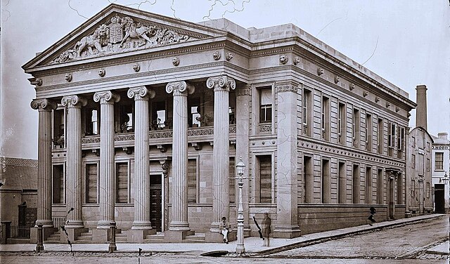
The Oriental Bank, pictured here in the 1870s, was located on the south-west corner of Queen Street and Flinders Lane, circa 1870s. The bank went out of business in around 1884 and was demolished shortly afterwards.
The Hoddle Grid is the contemporary name given to the approximately 1-by-0.5-mile grid of streets that form the Melbourne central business district, Australia. Bounded by Flinders Street, Spring Street, La Trobe Street, and Spencer Street, it lies at an angle to the rest of the Melbourne suburban grid, and so is easily recognisable. It is named after the surveyor Robert Hoddle, who marked it out in 1837, establishing the first formal town plan. This grid of streets, laid out when there were only a few hundred settlers, became the nucleus for what is now Melbourne, a city of over five million people.
Aerial view of the city centre looking east. The Yarra River is on the right and the Melbourne Cricket Ground is in the background.
Satellite image of Melbourne at night, showing the grid plan of its major roads and streets.
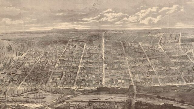
Melbourne 1880, Samuel Calvert
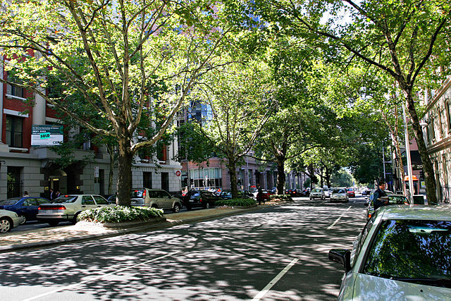
Trees surrounded by buildings, King Street