The Rangitaiki River is the longest river in the Bay of Plenty region in New Zealand's North Island. It is 155 kilometres (96 mi) long, and rises inland from northern Hawkes Bay to the east of the Kaingaroa Forest.
The Rangitaiki catchment covers an area of 3005 km2.
It flows in a generally northeastward direction, passing through the town of Murupara and skirting close to the western edge of Te Urewera National Park before turning northwards, flowing past Edgecumbe and into the Bay of Plenty close to Thornton.
Rangitaiki River
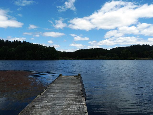
Lake Matahina
Lake Āniwaniwa
Recreational jet boating on the Rangitaiki River, 1971
The Bay of Plenty is a large bight along the northern coast of New Zealand's North Island. It stretches 260 kilometres (160 mi) from the Coromandel Peninsula in the west to Cape Runaway in the east. Called Te Moana-a-Toi in the Māori language after Toi, an early ancestor, the name 'Bay of Plenty' was bestowed by James Cook in 1769 when he noticed the abundant food supplies at several Māori villages there, in stark contrast to observations he had made earlier in Poverty Bay.
The Bay of Plenty seen from Whakatāne. The Whakatane River (foreground) is one of eight major rivers that empty into the bay.
Whakaari / White Island and Te Paepae o Aotea
Bay of Plenty at Maunganui
Pukehina Beach


