Resolution Island (New Zealand)
Resolution Island or Tau Moana (Māori) is the largest island in the Fiordland region of southwest New Zealand, covering a total of 208 km2 (80 sq mi). It is the country's seventh largest island, and the second largest uninhabited island. Resolution Island is separated from the mainland of the South Island by Tamatea / Dusky Sound, Te Puaitaha / Breaksea Sound, and Acheron Passage. The island is part of the Fiordland National Park.
Resolution from the North - Near the Gilbert Islands
Fiordland is a geographical region of New Zealand in the south-western corner of the South Island, comprising the westernmost third of Southland. Most of Fiordland is dominated by the steep sides of the snow-capped Southern Alps, deep lakes, and its steep, glacier-carved and now ocean-flooded western valleys. The name "Fiordland" comes from a variant spelling of the Scandinavian word for this type of steep valley, "fjord". The area of Fiordland is dominated by, and very roughly coterminous with, Fiordland National Park, New Zealand's largest National Park.
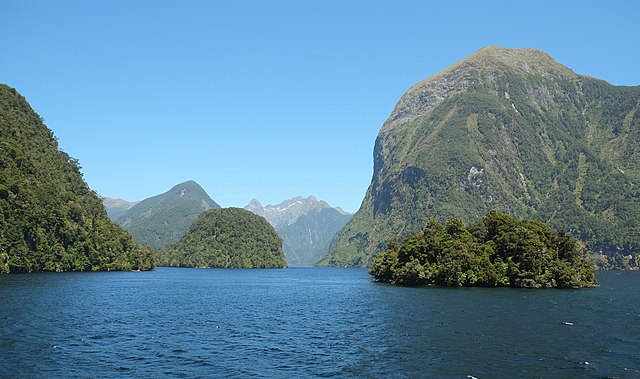
Fiordland's landscape is characterised by deep fiords along the coast...
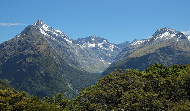
...and U-shaped valleys carved by glaciers
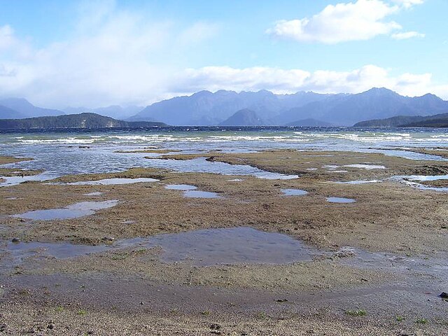
Fraser Beach on the eastern shore of Lake Manapouri
Mountains reach over 2500m in the northern parts of Fiordland


