The River Raisin is a river in southeastern Michigan, United States, that flows through glacial sediments into Lake Erie. The area today is an agricultural and industrial center of Michigan. The river flows for almost 139 miles (224 km), draining an area of 1,072 square miles (2,780 km2) in the Michigan counties of Lenawee, Washtenaw, Jackson, Hillsdale, and Monroe County, where its mouth at Lake Erie is located. French settlers named it as La Rivière aux Raisins because of the wild grapes growing along its banks, the French word for grape being raisin. The French term for "raisin" is raisin sec.
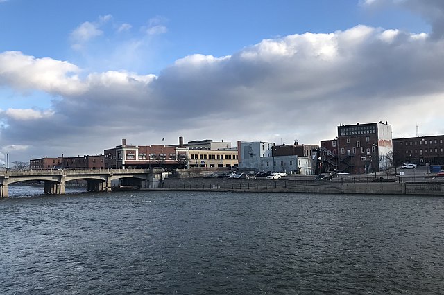
The River Raisin flowing through Monroe
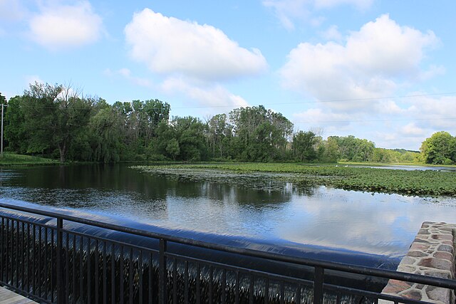
River Raisin through Sharon Township
Boats docked near the mouth of River Raisin
Red Millpond, Tecumseh
Monroe is the largest city and county seat of Monroe County, Michigan, United States. The population was 20,462 as of the 2020 census. The city is bordered on the south by Monroe Charter Township, but the two are administered autonomously. Monroe is the core city in the Monroe metropolitan area, which is coterminous with Monroe County and had a population of 154,809 in 2020. Located on the western shores of Lake Erie approximately 20 miles (32 km) northeast of Toledo, Ohio, and 40 miles (64 km) southwest of Detroit, the city is part of the Detroit–Ann Arbor–Flint combined statistical area.
Image: Monroe from the River Raisin
Image: River Raisin National Battlefield Park
Image: Monroe County Courthouse (Monroe)
Image: General Custer statue Monroe Michigan


