Riverside Park (Manhattan)
Riverside Park is a scenic waterfront public park in the Upper West Side, Morningside Heights, and Hamilton Heights neighborhoods of the borough of Manhattan in New York City. The park measures 4 miles (6.4 km) long and 100 to 500 feet wide, running between the Hudson River and Henry Hudson Parkway to the west and the serpentine Riverside Drive to the east.
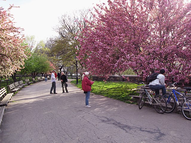
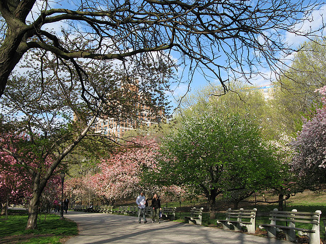
Riverside Park has many walking and bicycle paths.
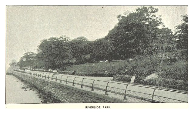
The future park site depicted in the King's Handbook of New York City, circa 1890
Riverside Drive Viaduct under construction
Trains travel through the Freedom Tunnel below this section of the park.
The Upper West Side (UWS) is a neighborhood in the borough of Manhattan in New York City. It is bounded by Central Park on the east, the Hudson River on the west, West 59th Street to the south, and West 110th Street to the north. The Upper West Side is adjacent to the neighborhoods of Hell's Kitchen to the south, Columbus Circle to the southeast, and Morningside Heights to the north.
The Upper West Side and Central Park as seen from Top of the Rock observatory at Rockefeller Center. In the background to the west are the Hudson River and the George Washington Bridge.
Verdi Square at the intersection of Broadway and Amsterdam Avenue. The 72nd Street subway station on the 1, 2, and 3 trains is in the center of the square.
A typical midblock view on the Upper West Side consisting of 4- and 5-story brownstones
A New York country estate on the old Bloomingdale Road