Rivington Street is a street in the New York City borough of Manhattan, which runs across the Lower East Side neighborhood, between the Bowery and Pitt Street, with a break between Chrystie and Forsyth for Sara D. Roosevelt Park. Vehicular traffic runs west on this one-way street.
Cafe on Rivington Street
First Warsaw Congregation, 58 Rivington Street
Rivington Street in 1910 by George Grantham Bain
The Bowery is a street and neighborhood in Lower Manhattan in New York City, United States. The street runs from Chatham Square at Park Row, Worth Street, and Mott Street in the south to Cooper Square at 4th Street in the north. The eponymous neighborhood runs roughly from the Bowery east to Allen Street and First Avenue, and from Canal Street north to Cooper Square/East Fourth Street. The neighborhood roughly overlaps with Little Australia. To the south is Chinatown, to the east are the Lower East Side and the East Village, and to the west are Little Italy and NoHo. It has historically been considered a part of the Lower East Side of Manhattan.
Looking north from Houston Street
Looking north from Grand Street, showing the tracks of the Third Avenue Elevated, c. 1910
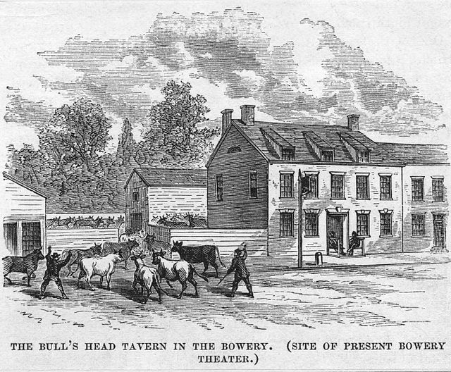
The Bull's Head Tavern in the Bowery, 1801 – c. 1860
Berenice Abbott photograph of a Bowery restaurant in 1935, when the street was lined with flophouses


