Road transport in Brisbane
The road transport in Brisbane, Australia, consists of a network of highways, freeways and motorways. Some motorways have tolls applied.
The Pacific Motorway links Brisbane and the Gold Coast (2006)
The Airport Flyover alleviated a congestion black spot
Ipswich Road becomes the Ipswich Motorway and links Brisbane to Ipswich, 2010
South East Queensland (SEQ) is a bio-geographical, metropolitan, political and administrative region of the state of Queensland in Australia, with a population of approximately 3.8 million people out of the state's population of 5.1 million. The area covered by South East Queensland varies, depending on the definition of the region, though it tends to include Queensland's three largest cities: the capital city Brisbane; the Gold Coast; and the Sunshine Coast. Its most common use is for political purposes, and covers 35,248 square kilometres (13,609 sq mi) and incorporates 11 local government areas, extending 240 kilometres (150 mi) from Noosa in the north to the Gold Coast and New South Wales border in the south, and 140 kilometres (87 mi) west to Toowoomba. It is the third largest urban area in Australia by population.
Queensland's first railway linked Grandchester to Ipswich, 1865
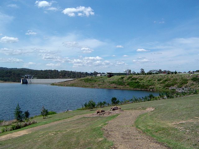
Wyaralong Dam was opened in 2011
South-East Queensland from the Landsat 7 satellite
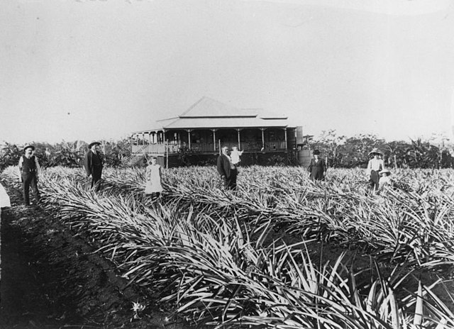
Pineapple plantation at Cleveland, 1907