Roads and expressways in Chicago summarizes the main thoroughfares and the numbering system used in Chicago and its surrounding suburbs.

Sunset view of the Chicago Skyway tollbooths at the entrance to the Chicago southbound city limits

The division of Chicago's directional address system is at State Street - separating East (E) from West (W), and Madison Street - North (N) from South (S).
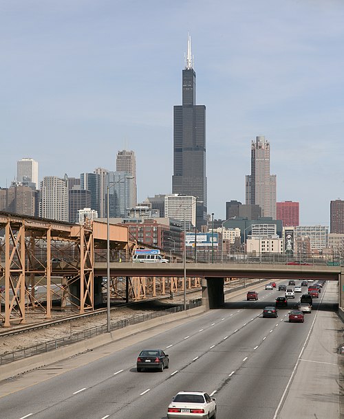
The Eisenhower Expressway at the Ashland Avenue Overpass looking east towards downtown. The 'Ike' as it is known locally, runs parallel to the CTA's Blue Line. Both connect the city to the western suburbs.

South Lake Shore Drive, looking north towards downtown.
Burnham Plan of Chicago
Videos
The Burnham Plan is a popular name for the 1909 Plan of Chicago coauthored by Daniel Burnham and Edward H. Bennett and published in 1909. It recommended an integrated series of projects including new and widened streets, parks, new railroad and harbor facilities, and civic buildings. Though only portions of the plan were realized, the document reshaped Chicago's central area and was an important influence on the new field of city planning.

Title page of 1st edition

Plan of central Chicago

View, looking west, of the proposed Civic Center

Plan of a park