The Roosevelt Island Tramway is an aerial tramway that crosses the East River in New York City, connecting Roosevelt Island to the Upper East Side of Manhattan. The tramway is the first commuter aerial tramway in the U.S., having opened on May 17, 1976, to serve residential developments on the island. The tram is operated by Leitner-Poma on behalf of the Roosevelt Island Operating Corporation of the State of New York.
Roosevelt Island Tramway
One of the original tram cabins in Manhattan
An old tram car crossing the East River, 2005
The tramway seen at dawn
An aerial tramway, aerial tram, sky tram, aerial cablecar, aerial cableway, telepherique, or seilbahn is a type of aerial lift which uses one or two stationary ropes for support while a third moving rope provides propulsion. With this form of lift, the grip of an aerial tramway cabin is fixed onto the propulsion rope and cannot be decoupled from it during operations.
In comparison to gondola lifts, aerial tramways generally provide lower line capacities and higher wait times.
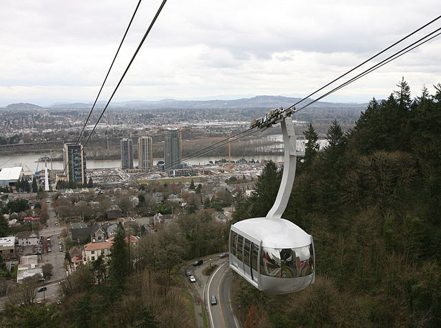
The Portland Aerial Tram in Portland, Oregon, US
Aerial tramway in Engadin, Switzerland, suspended on two track cables with an additional haulage rope
The Port Vell Aerial Tramway in Barcelona, Spain
An aerial tramway across the Yangtze river in the Chongqing CBD