Saare County is one of 15 counties of Estonia. It consists of Saaremaa, the largest island of Estonia, and several smaller islands near it, most notably Muhu, Ruhnu, Abruka and Vilsandi. The county borders Lääne County to the east, Hiiu County to the north, and Latvia to the south. In 2022 Saare County had a population of 31,292, which was 2.4% of the population of Estonia.
Saare County
The 1241 Treaty between Livonian branch of the Teutonic Order, Bishopric of Ösel-Wiek and Oeselians at National Archives of Sweden
Püha church
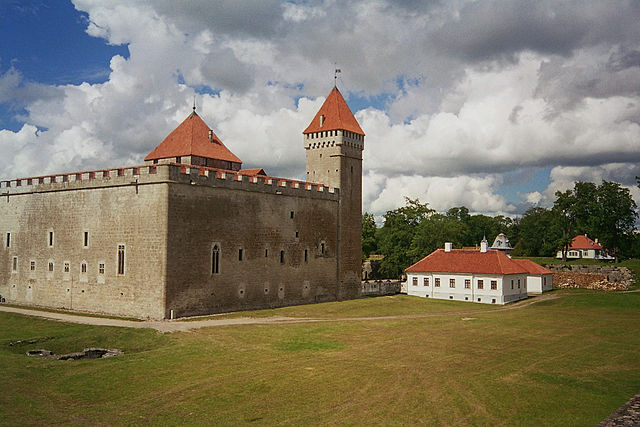
Kuressaare Castle
Saaremaa is the largest and most populous island in Estonia. Measuring 2,673 km2 (1,032 sq mi), its population is 31,435. The main island of the West Estonian archipelago, it is located in the Baltic Sea, south of Hiiumaa island and northwest of the Gulf of Riga. The administrative centre of the island, and of the Saare County, is the town of Kuressaare, which in January 2018 had 13,276 inhabitants.
Kuressaare Castle in Kuressaare
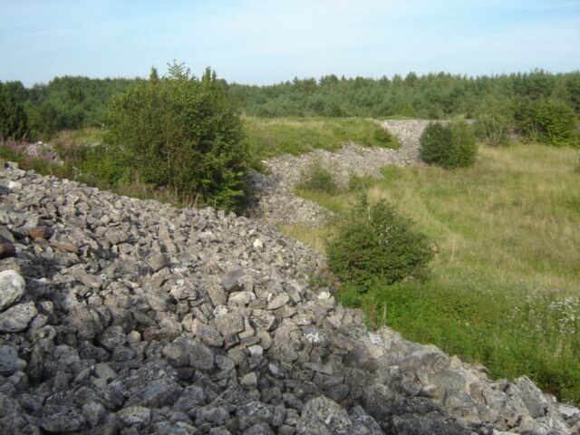
Remnants of Valjala Stronghold
The 1241 Treaty between Livonian Order, Bishopric of Ösel–Wiek and Oeselians at National Archives of Sweden
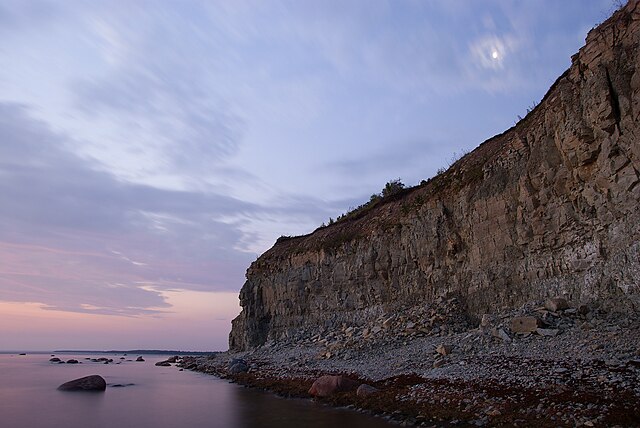
Panga Cliff