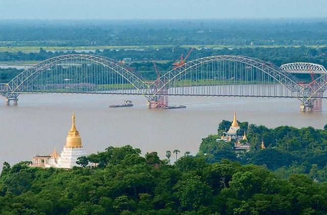
Sagaing Region is an administrative region of Myanmar, located in the north-western part of the country between latitude 21° 30' north and longitude 94° 97' east. It is bordered by India's Nagaland, Manipur, and Arunachal Pradesh states to the north, Kachin State, Shan State, and Mandalay Region to the east, Mandalay Region and Magway Region to the south, with the Ayeyarwady River forming a greater part of its eastern and also southern boundary, and Chin State and India to the west. The region has an area of 93,527 square kilometres (36,111 sq mi). In 1996, it had a population of over 5,300,000 while its population in 2012 was 6,600,000. The urban population in 2012 was 1,230,000 and the rural population 5,360,000. The capital city and the largest city of Sagaing Region is Monywa.
Sagaing Region
Sagaing
Myanmar, officially the Republic of the Union of Myanmar and also known as Burma, is a country in Southeast Asia. It is the largest country by area in Mainland Southeast Asia and has a population of about 55 million. It is bordered by Bangladesh and India to its northwest, China to its northeast, Laos and Thailand to its east and southeast, and the Andaman Sea and the Bay of Bengal to its south and southwest. The country's capital city is Naypyidaw, and its largest city is Yangon.
Pagodas and kyaungs in present-day Bagan, the capital of the Pagan Kingdom
Temples at Mrauk U
Portuguese ruler mounting an Elephant and his soldiers . Philips, Jan Caspar (draughtsman and engraver)
Myanmar (缅甸国) delegates in Peking in 1761, at the time of Emperor Qianlong. 萬國來朝圖/万国来朝图


