The Saginaw River is a 22.4-mile-long (36.0 km) river in the U.S. state of Michigan. It is formed by the confluence of the Tittabawassee and Shiawassee rivers southwest of Saginaw. It flows northward into the Saginaw Bay of Lake Huron, passing through the cities of Saginaw and Bay City, both of which developed around it in the 19th century. The watershed area is 8,595 square miles (22,260 km2). At its mouth, the river's estimated average discharge is 4,827 cubic feet per second (136.7 m3/s).
Saginaw River
Wellington R. Burt steamer, 1887
The Saginaw River supports transport of 4.6 million tons of river commerce annually.
Saginaw River during the Bay City Fireworks Festival
The Tittabawassee River flows in a generally southeasterly direction through the Lower Peninsula of the U.S. state of Michigan. The river begins at Secord Lake in Clement Township, at the confluence of the East Branch and the Middle Branch. From there it flows through Gladwin, Midland and Saginaw counties where, as a major tributary of the Saginaw River, it flows into it at Saginaw. Its tributaries include the Chippewa, Pine, Molasses, Sugar, and Tobacco rivers.
Looking north from M-61 in Hay Township
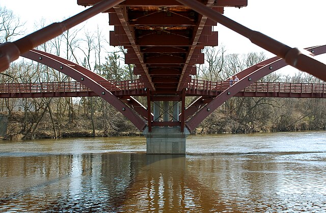
The Tridge is a three-way footbridge at the confluence of the Tittabawassee and Chippewa rivers
May 2020 floods viewed from space.


