The Tittabawassee River flows in a generally southeasterly direction through the Lower Peninsula of the U.S. state of Michigan. The river begins at Secord Lake in Clement Township, at the confluence of the East Branch and the Middle Branch. From there it flows through Gladwin, Midland and Saginaw counties where, as a major tributary of the Saginaw River, it flows into it at Saginaw. Its tributaries include the Chippewa, Pine, Molasses, Sugar, and Tobacco rivers.
Looking north from M-61 in Hay Township
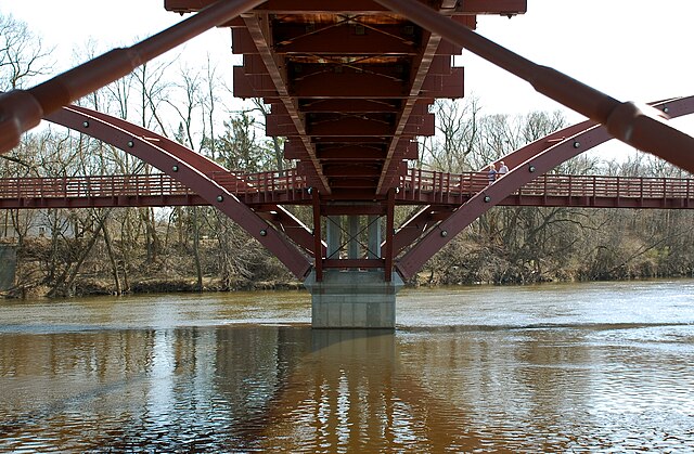
The Tridge is a three-way footbridge at the confluence of the Tittabawassee and Chippewa rivers
May 2020 floods viewed from space.
Lower Peninsula of Michigan
The Lower Peninsula of Michigan – also known as Lower Michigan – is the larger, southern and less elevated of the two major landmasses that make up the U.S. state of Michigan; the other being the Upper Peninsula, which is separated by the Straits of Mackinac. It is surrounded by water on all sides except its southern border, which it shares with Indiana and Ohio. Although the Upper Peninsula is commonly referred to as "the U.P.", it is uncommon for the Lower Peninsula to be called "the L.P."
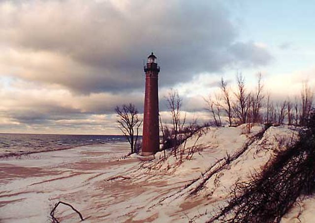
The Little Sable Point Light Station on Lake Michigan in Oceana County


