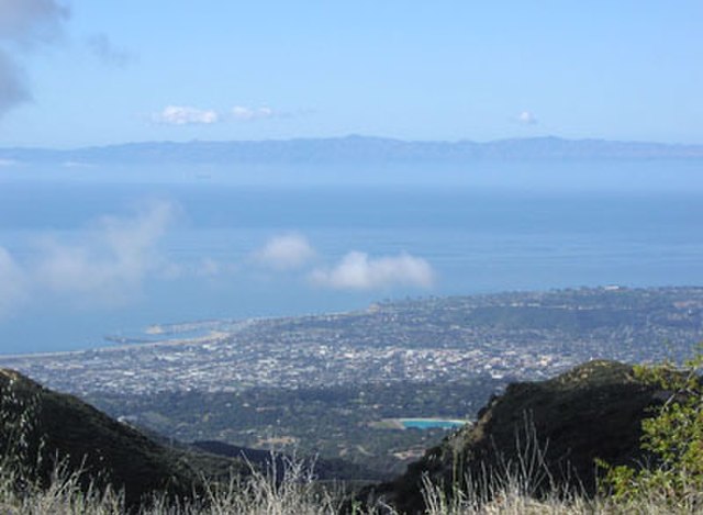
The Santa Barbara Channel is a portion of the Southern California Bight and separates the mainland of California from the northern Channel Islands. It is generally south of the city of Santa Barbara, and west of the Oxnard Plain in Ventura County.
Looking south-southwest, across the Santa Barbara Channel; the city of Santa Barbara, California is below, and Santa Cruz Island is in the distance.
Southern California Bight
The Southern California Bight is a 692-kilometer-long stretch of curved coastline that runs along the west coast of the United States and Mexico, from Point Conception in California to Punta Colonet in Baja California, plus the area of the Pacific Ocean defined by that curve. This includes the Channel Islands of California and the Coronado Islands and Islas de Todo Santos of Baja California.
ISS view of the Southern California Bight, which stretches from Point Conception (top left) to Punta Colonet (bottom left)
Satellite view of the Southern California Bight in California, including the Channel Islands
Mountainous stretch of coastline between Tijuana and Ensenada, Baja California
Coastal fog blankets the city of Ensenada on an April evening. The fog typically evaporates by midday.


