The Santa Rita Mountains, located about 40 miles (64 km) southeast of Tucson, Arizona, extend 26 miles (42 km) from north to south, then trending southeast. They merge again southeastwards into the Patagonia Mountains, trending northwest by southeast. The highest point in the range, and the highest point in the Tucson area, is Mount Wrightson, with an elevation of 9,453 feet (2,881 m), The range contains Madera Canyon, one of the world's premier birding areas. The Smithsonian Institution's Fred Lawrence Whipple Observatory is located on Mount Hopkins. The range is one of the Madrean sky islands.
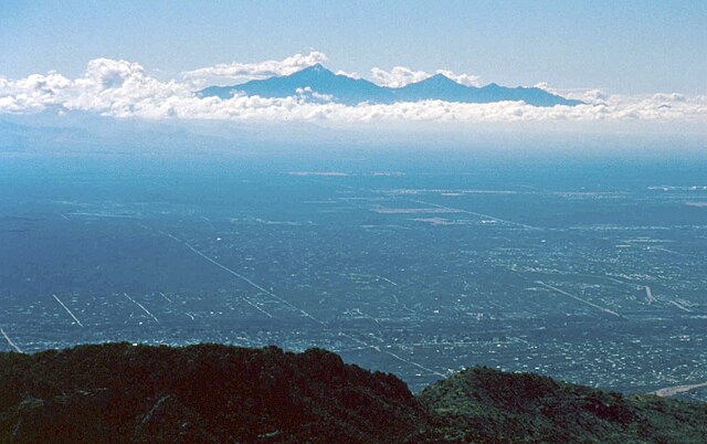
View of the northern end of the Santa Ritas from the Santa Rita Experimental Range
Helvetia, Arizona, in 1909
View of the Santa Ritas from the Catalina Mountains
Mount Wrightson from Madera Canyon in 2012
Tucson is a city in and the county seat of Pima County, Arizona, United States, and is home to the University of Arizona. It is the second-largest city in Arizona behind Phoenix, with a population of 542,629 in the 2020 United States census, while the population of the entire Tucson metropolitan statistical area (MSA) is 1,043,433. The Tucson MSA forms part of the larger Tucson-Nogales combined statistical area. Both Tucson and Phoenix anchor the Arizona Sun Corridor. The city is 108 miles (174 km) southeast of Phoenix and 60 mi (100 km) north of the United States–Mexico border.
Image: View of Tucson from Sentinel Peak 2
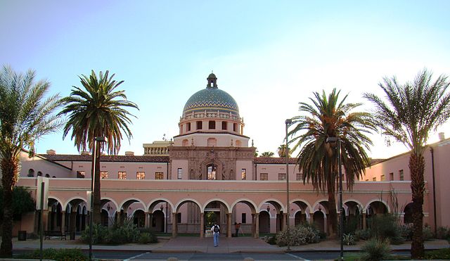
Image: Morecourthouse
Image: Arizona Uni fountain
Image: Downtown Tucson panoramio


