Santo Antão is the northwesternmost island of Cape Verde. At 785 km2 (303 sq mi), it is the largest of the Barlavento Islands group, and the second largest island of Cape Verde. The nearest island is São Vicente to the southeast, separated by the sea channel Canal de São Vicente. Its population was 38,200 in mid 2019, making it the fourth most populous island of Cape Verde after Santiago, São Vicente and Sal. Its largest city is Porto Novo located on the southern coast.
Santo Antão, Cape Verde
Coastline of Santo Antão
Ribeira da Garça
View of the mountains of Vale do Paúl, where terraces plantations can be seen.
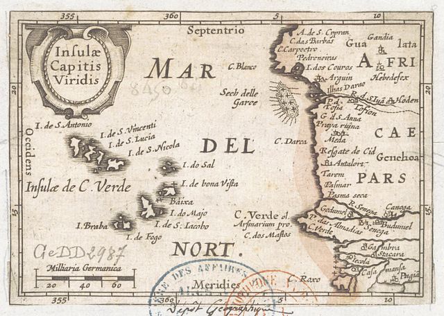
Cape Verde or Cabo Verde, officially the Republic of Cabo Verde, is an archipelago and island country of West Africa in the central Atlantic Ocean, consisting of ten volcanic islands with a combined land area of about 4,033 square kilometres (1,557 sq mi). These islands lie between 600 and 850 kilometres west of Cap-Vert, the westernmost point of continental Africa. The Cape Verde islands form part of the Macaronesia ecoregion, along with the Azores, the Canary Islands, Madeira and the Savage Isles.
Insulae Capitis Viridis (1598), showing Cape Verde
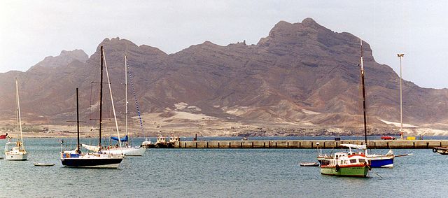
A view of Monte Cara from Mindelo
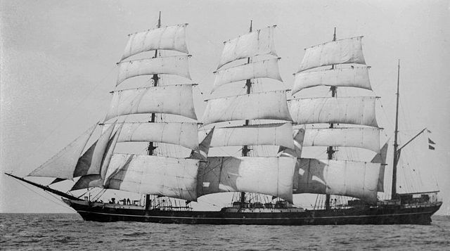
Grain ship Garthpool, wrecked at Boavista, Cape Verde, in 1928
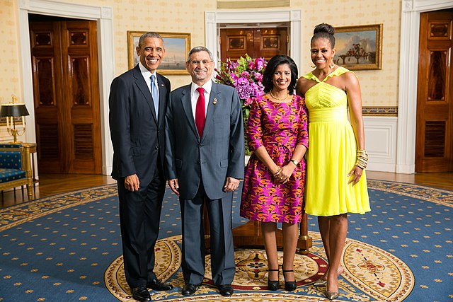
Cape Verdean President Jorge Carlos Fonseca and Lígia Fonseca meet with US President Barack Obama and Michelle Obama in 2014.