Sargur, is a small town located about 80 km from the town of Chamarajanagar And a Taluk of Mysore district of Karnataka, India. H D Kote (Heggadadevanakote) is about 12 km north of Sargur. It is 55 km from the city of Mysore. Bangalore International Airport is 200 km away. To be more elaborate, Sargur is 33.8 km from Nanjangud town (Karnataka), 35.1 km from Gundlupet town (Karnataka), 137.8 km from Udagamandalam town (Ooty) Valley and 38.8 km from Hunsur town (Karnataka).
Heggadadevanakote Taluk boundary before creation of Sargur Taluk
Heggadadevanakote Taluk boundary same as Assembly Constituency as per 2011 Census before creation of Sargur Taluk
Mysore road from Sargur
Mysore district, officially Mysuru district, is an administrative district located in the southern part of the state of Karnataka, India. It is the administrative headquarters of Mysore division. Chamarajanagar District was carved out of the original larger Mysore District in the year 1998. The district is bounded by Chamrajanagar district to the southeast, Mandya district to the east and northeast, Kerala state to the south, Kodagu district to the west, and Hassan district to the north.
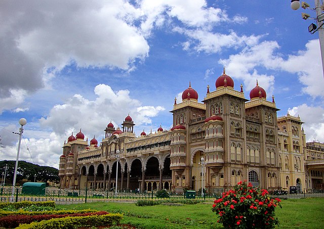
Image: Mysore Palace Amba Vilas Palace
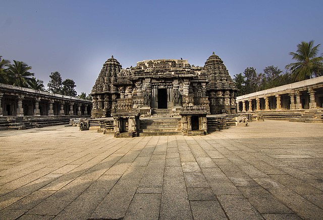
Image: Chennakesava Temple View from Front entrance
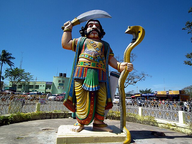
Image: Mahishasura, Chamundi Mysore
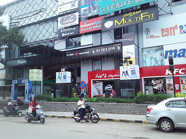
Image: B.M.Mall, Jayalakshmipuram, Mysore