Satellite geodesy is geodesy by means of artificial satellites—the measurement of the form and dimensions of Earth, the location of objects on its surface and the figure of the Earth's gravity field by means of artificial satellite techniques. It belongs to the broader field of space geodesy. Traditional astronomical geodesy is not commonly considered a part of satellite geodesy, although there is considerable overlap between the techniques.
Wettzell Laser Ranging System, a satellite laser ranging station
Artist's conception of GRACE
This graph shows the rise in global sea level (in millimeters) measured by the NASA/CNES ocean altimeter mission TOPEX/Poseidon (on the left) and its follow-on mission Jason-1. Image credit: University of Colorado
Geodesy is the science of measuring and representing the geometry, gravity, and spatial orientation of the Earth in temporally varying 3D. It is called planetary geodesy when studying other astronomical bodies, such as planets or circumplanetary systems.
A modern instrument for geodetic measurements using satellites
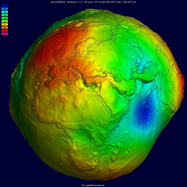
Geoid, an approximation for the shape of the Earth; shown here with vertical exaggeration (10000 vertical scaling factor).
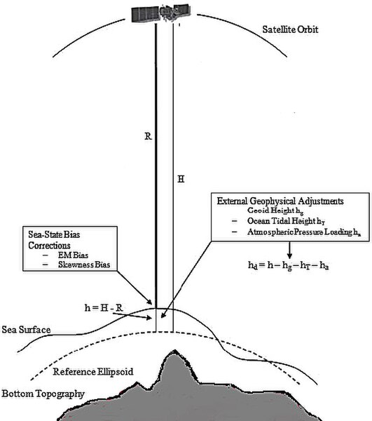
Height measurement using satellite altimetry
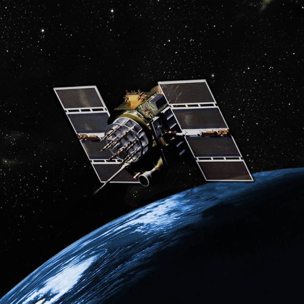
GPS Block IIA satellite orbits over the Earth.


