Sawad
Videos
Sawad was the name used in early Islamic times for southern Iraq. It means "black land" or "arable land" and refers to the stark contrast between the alluvial plain of Mesopotamia and the Arabian Dese

Marshes of southern Iraq

Marshes of southern Iraq
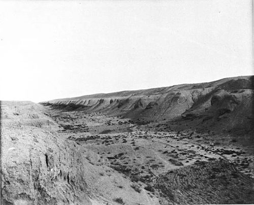
The now-dry bed of the Nahrawan Canal as it appeared near the turn of the 20th century.

A Noria in Hama, Syria. Mechanical waterwheels like this one once carried water from rivers and canals to the fields of the Sawad.
Upper Mesopotamia
Videos
Upper Mesopotamia constitutes the uplands and great outwash plain of northwestern Iraq, northeastern Syria and southeastern Turkey, in the northern Middle East. Since the early Muslim conquests of the
Sawad
…the Umayyad and Abbasid Caliphates, it was an official political term for a province encompassing most of modern Iraq except for the Syrian Desert and Upper Mesopotamia in the north. As a generic term in Arabic, sawād (سواد) was used to denote the irrigated and cultivated areas in any district. Unmodified, it always…

Tigris river flows through Mosul, near the ancient Assyrian city of Nineveh, which is a major settlement and hosts farmland in Upper Mesopotamia.

Monumental stone buildings at Göbekli Tepe, c. 9000 BC

Uruk period (c. 4000 to 3100 BC)