Shropshire is a unitary authority area in the ceremonial county of Shropshire, in the West Midlands region of England. It was created on 1 April 2009 from the former districts of Bridgnorth, North Shropshire, Oswestry, Shrewsbury and Atcham and South Shropshire. The district is governed by Shropshire Council. It contains 188 civil parishes.
Image: Barker Street, Shrewsbury geograph.org.uk 5075143
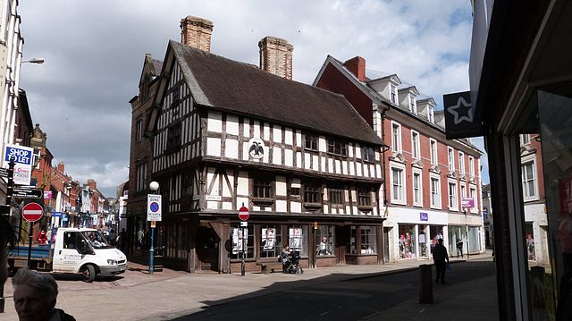
Image: Llwyd Mansion 1604 Oswestry (8689969578)
Image: Ludlow from Whitcliffe geograph.org.uk 4331070
Image: Street scene, Market Drayton geograph.org.uk 5377898
Shropshire is a ceremonial county in the West Midlands of England, on the Welsh border. It is bordered by Wrexham County Borough and Cheshire to the north, Staffordshire to the east, Worcestershire to the south-east, Herefordshire to the south and Powys to the west. The largest settlement is Telford, and Shrewsbury is the county town.
Image: Church Stretton beyond Townbrook Valley, Long Mynd, Shropshire
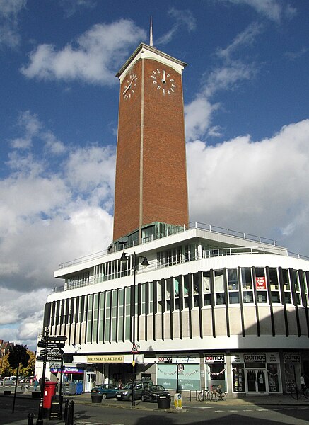
Image: Shrewsbury Market Hall and clock tower geograph.org.uk 3711724
Image: The Iron Bridge, Side Angled View
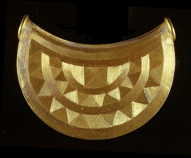
The Shropshire bulla or sun pendant