The Sino–Indian War, also known as the China–India War or the Indo–China War, was an armed conflict between China and India that took place from October to November 1962. It was a military escalation of the Sino–Indian border dispute. Fighting occurred along India's border with China, in India's North-East Frontier Agency east of Bhutan, and in Aksai Chin west of Nepal.
Indian soldiers patrolling Spanggur Tso at the Sino–Indian border in January 1962
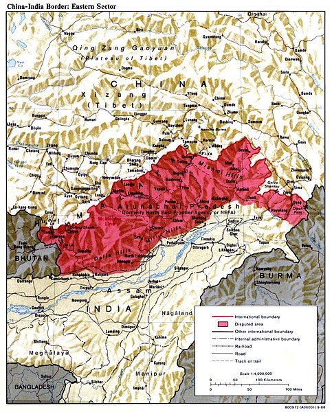
The McMahon Line is the red line marking the northern boundary of the disputed area.
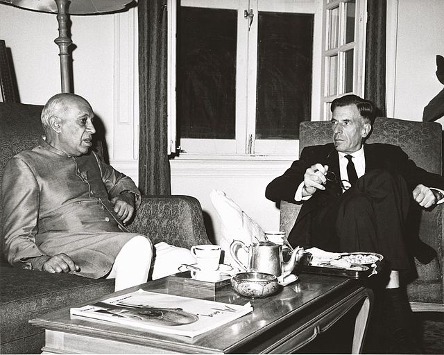
U.S. Ambassador to India John Kenneth Galbraith and Prime Minister Nehru conferring at the time of the conflict. This photograph was taken by the United States Information Service (USIS) and sent to President John F. Kennedy with a letter from Galbraith dated 9 November 1962.
Sino-Indian border dispute
The Sino–Indian border dispute is an ongoing territorial dispute over the sovereignty of two relatively large, and several smaller, separated pieces of territory between China and India. The first of the territories, Aksai Chin, is administered by China and claimed by India; it is mostly uninhabited high-altitude wasteland but with some significant pasture lands at the margins. It lies at the intersection of Kashmir, Tibet and Xinjiang, and is crossed by China's Xinjiang-Tibet Highway; the other disputed territory is south of the McMahon Line, in the area formerly known as the North-East Frontier Agency and now a state called Arunachal Pradesh. It is administered by India and claimed by China. The McMahon Line was signed between British India and Tibet to form part of the 1914 Simla Convention, but the latter was never ratified by China. China disowns the McMahon Line agreement, stating that Tibet was not independent when it signed the Simla Convention.

The McMahon Line is the northern border of the red tinted disputed area.
India receives the body of a soldier after the Sino-Indian border conflict, 1967
SINO-INDIAN BORDER DEFENSES CHUSHUL AREA (CIA, 1963)


