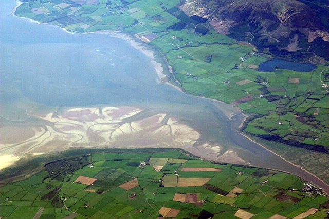
The Solway Coast is a designated Area of Outstanding Natural Beauty in northern Cumbria, England. It incorporates two areas of coastline along the Solway Firth, the first running from just north of the city of Carlisle, at the estuary of the rivers Esk and Eden, in a westerly direction as far as
Silloth-on-Solway, including the villages of Bowness-on-Solway, Burgh-by-Sands, Port Carlisle, and Skinburness. The second area begins just north of the hamlet of Beckfoot, and runs south down the coast to the southern end of Allonby Bay near the village of Crosscanonby. Included in this area are the villages of Mawbray and Allonby, and the hamlets of Dubmill, Hailforth and Salta. The hamlet of Wolsty lies just outside the AONB. Beginning at Silloth, the B5300 coast road runs in a south-westerly direction, entering the AONB just north of Beckfoot, and exiting near Crosscanonby.
Grune Point, Cumbria
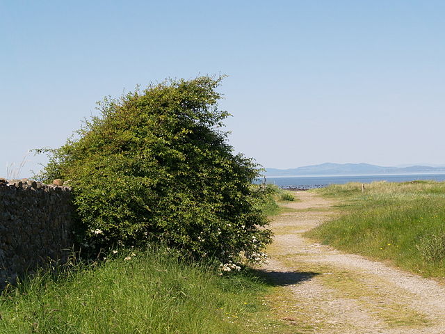
The track leading to the beach near Mawbray Yard, in the civil parish of Holme St. Cuthbert in the Solway Coast AONB.
Robin Rigg wind farm (pictured here while still under construction in 2009) has proven controversial with residents and supporters of the AONB.
The Solway Coast Discovery Centre in Silloth.
The Solway Firth is a firth that forms part of the border between England and Scotland, between Cumbria and Dumfries and Galloway. It stretches from St Bees Head, just south of Whitehaven in Cumbria, to the Mull of Galloway, on the western end of Dumfries and Galloway. The Isle of Man is also very near to the firth. The firth comprises part of the Irish Sea.
Satellite photo, includes processing enhancements to highlight sediments, dissolved organic matter, and water depth.
The estuary of the River Nith, opening into the Solway Firth south of Dumfries.
Haaf net fishing in the Solway Firth


