South Limburg (Netherlands)
South Limburg is both a COROP (statistical) region as well as a landstreek (area) of the Netherlands located in the province of Limburg. The Dutch term landstreek, literally translated "land area/region", means that the area is not an administrative region but an area that displays cohesion with regard to culture and landscape. With regards to South Limburg this deals with its hilly landscape, especially in the Heuvelland region, sunken lanes, an abundance of castles, and the regional language Limburgish spoken by a significant part of the population alongside Dutch. The region also contains the highest point above sea level in mainland Netherlands, the Vaalserberg being 322.5 metres (1,058 ft) above sea level.
Hills in South Limburg
Borgharen Castle in the town of Borgharen in the estate region.
A sunken lane near Cadier en Keer
Chapel near Cadier en Keer
Limburg, also known as Dutch Limburg, is the southernmost of the twelve provinces of the Netherlands. It is bordered by Gelderland to the north and by North Brabant to its west. Its long eastern boundary forms the international border with the state of North Rhine-Westphalia in Germany. To the west is the international border with the similarly named Belgian province of Limburg, part of which is delineated by the river Meuse. To the South, Limburg is bordered by the Belgian province of Liège. The Vaalserberg is on the extreme southeastern point, marking the tripoint of the Netherlands, Germany and Belgium.
View of the river Meuse and the Medieval Sint Servaasbrug in Maastricht, Limburg's capital
View of a typical street in a hilly South-Limburgian hamlet; here in Walem
Huis Bloemendaal in Vaals, an 18th-century stately home, also used as a monastery, now a hotel
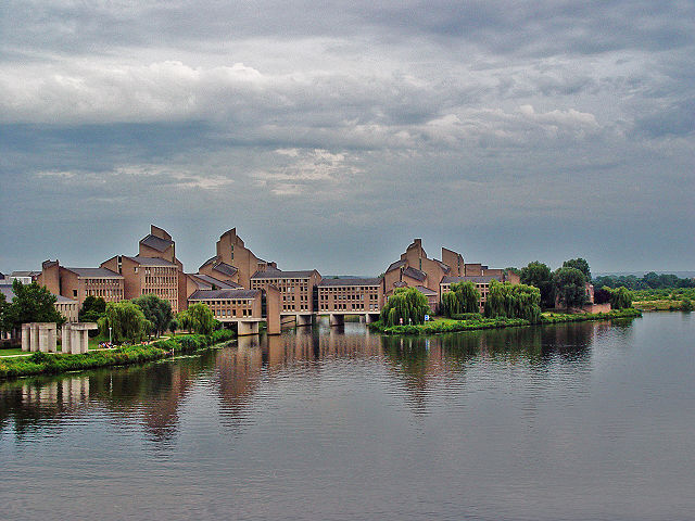
Provincial Government Buildings in Maastricht


