Spanbroekmolen is a small group of farms in Heuvelland, a municipality located in the Belgian province of West Flanders. The hamlet is sited on one of the highest points of the Messines Ridge, in between the villages of Kemmel, Wijtschate and Wulvergem.
View of the Messines Ridge with the Spanbroekmolen site; the crater of the British mine fired on 7 June 1917 is in the wooded area behind the farm on the right.
C. G. Martin, VC
Plan of the British deep mine fired at Spanbroekmolen on 7 June 1917. The abandoned branch gallery and several German counter-mines (Erich, Ewald, Elsa, Frieda) are clearly visible.
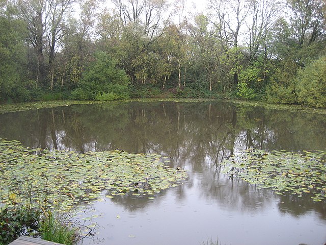
Spanbroekmolen crater in November 2009.
Heuvelland is a municipality located in the Belgian province of West Flanders. The municipality comprises the villages of Dranouter, Kemmel, De Klijte, Loker, Nieuwkerke, Westouter, Wijtschate and Wulvergem. Heuvelland is a thinly populated rural municipality, located between the small urban centres of Ypres and Poperinge and the metropolitan area of Kortrijk-Lille along the E17. On 1 January 2006 Heuvelland had a total population of 8,217. The total area is 94.24 km2 which gives a population density of 87 inhabitants per km2. The name heuvelland is Dutch meaning "hill country", as the municipality is characterized by the different hills on its territory.
Heuvelland
Kemmelberg, seen from the west
Landscape, with the village of Loker, as seen from the Rodeberg
German concrete bunker at the Bayernwald Trenches in Croonaert Wood