Springville, Utah
Videos
Page
Springville is a city in Utah County, Utah, United States, that is part of the Provo–Orem metropolitan area. The population was 35,268 in 2020, according to the United States Census. Springville is a bedroom community for commuters who work in the Provo-Orem and Salt Lake City metropolitan areas. Other neighboring cities include Spanish Fork and Mapleton. Springville has the nickname of "Art City" or "Hobble Creek".
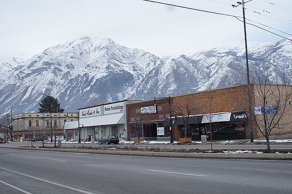
Main Street with the snowy Wasatch Mountains in the background

Memorial to Springville, Utah's pioneer mothers. It was unveiled in 1932 by sculptor Cyrus Dallin, who was born in Springville in 1861.

Mountains to the east of Springville, part of the Wasatch Range

Springville Public Library with view of Wasatch Range in background
Utah County, Utah
Videos
Page
Utah County is the second-most populous county in the U.S. state of Utah. The county seat and largest city is Provo, which is the state's fourth-largest city, and the largest outside of Salt Lake County. As of the 2020 United States Census, the population was 665,665.

Historic Utah County Courthouse
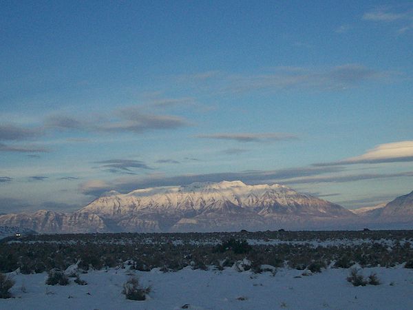
Mount Timpanogos in the Wasatch Range is visible from much of Utah County.
A partial view of Utah Valley seen here from outside of Salem

View of the cities of Lehi, American Fork, Pleasant Grove, Lindon and Orem along Interstate 15 and the northeast shore of Utah Lake