Srikakulam district is one of the twenty-six districts of the Indian state of Andhra Pradesh, located in the Uttarandhra region of the state, with its headquarters located at Srikakulam. It is one of the six districts, located in the extreme northeastern direction of the state. It was formerly known as Chicacole, and was under Ganjam district till 1936 April 1, then merged under Vizagapatam district. Srikakulam district forms the core area of Kalinga where most of its historical capitals like Kalinganagari, pithunda, Dantapuram are located.
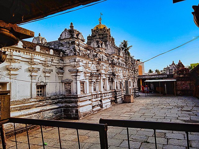
Image: 700 CE Mukhalingeswara Temples Group, Kalinga architecture, Mukhalingam, Andhra Pradesh 84
Image: 2nd century BCE to 8th century CE Salihundam Buddhist site, Andhra Pradesh 54
Image: Ancient Buddhist site, Kalingapatnam Andhra Pradesh 12
Image: 11th century Kurmanatha Swamy Temple, Srikurmam Andhra Pradesh 02
North Andhra or Uttara Andhra, also known as Kalinga Andhra, is a geographic region in the Indian state of Andhra Pradesh. It is between the Eastern Ghats and the coast of the Bay of Bengal. It comprises six northern districts of the state, Srikakulam, Parvathipuram Manyam, Vizianagaram, Visakhapatnam, Alluri Sitharama Raju and Anakapalli. As of 2011 census of India, the region with six districts has a population of 9,338,177.
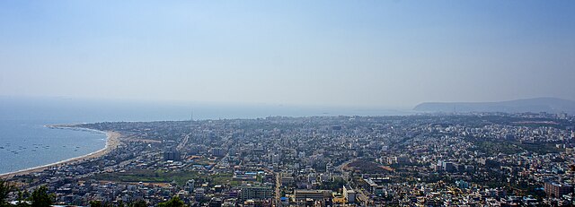
Image: Vizag View from Kailasagiri
Image: Arasavilli Suryanarayana Temple in Srikakulam
Image: Ganta stambham (clock tower) in Vizianagaram
Image: Araku Valley coffee plantations


