St. Marys River (Florida–Georgia)
The St. Marys River is a 126-mile-long (203 km) river in the southeastern United States. The river was known to the Indians of the area as Thlathlothlaguphka, or Phlaphlagaphgaw, meaning "rotten fish". French explorer Jean Ribault named the river the Seine when he encountered it in 1562. From near its source in the Okefenokee Swamp, to its mouth at the Atlantic Ocean, it forms a portion of the border between the U.S. states of Georgia and Florida. The river also serves as the southernmost point in the state of Georgia.
The St. Marys River rises as a tiny stream, River Styx, flowing from the western edge of Trail Ridge, the geological relic of a barrier island/dune system, and into the southeastern Okefenokee Swamp. Arching to the northwest, it loses its channel within the swamp, then turns back to the southwest and reforms a stream, at which point it becomes the St. Marys River. Joined by another stream, Moccasin Creek, the river emerges from the Okefenokee Swamp at Baxter, Florida/Moniac, Georgia. It then flows south, then east, then north, then east-southeast intersecting I-95 near Yulee, and finally emptying its waters into the Atlantic, near St. Marys, Georgia and Fernandina Beach, Florida.

Aerial photo of St. Marys River dividing border of Georgia (left) and Florida (right) from 26,000 feet altitude
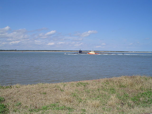
St. Marys River seen from Fort Clinch, Florida, with nuclear submarine returning to the sub base at Kings Bay, Georgia
The Okefenokee Swamp is a shallow, 438,000-acre (177,000 ha), peat-filled wetland straddling the Georgia–Florida line in the United States. A majority of the swamp is protected by the Okefenokee National Wildlife Refuge and the Okefenokee Wilderness. The Okefenokee Swamp is considered to be one of the Seven Natural Wonders of Georgia and is the largest "blackwater" swamp in North America.
Aerial view of wetlands in Okefenokee
One of the canals in the Okefenokee Swamp
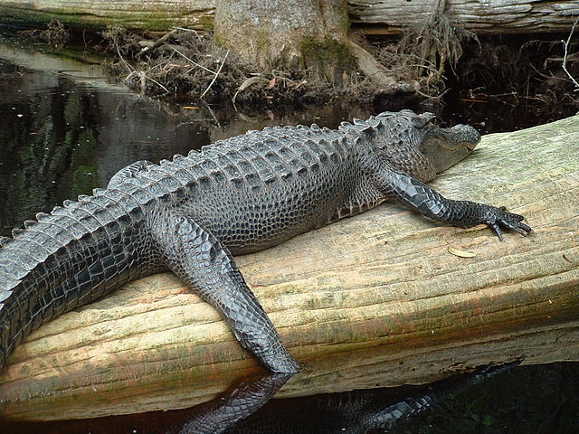
An American alligator lounges on a log in the Okefenokee Swamp.


