State Street is a large south-north street, also one of the main streets, in Chicago, Illinois, USA and its south suburbs. Its intersection with Madison Street has marked the base point for Chicago's address system since 1909. State begins in the north at North Avenue, the south end of Lincoln Park, runs south through the heart of the Chicago Loop, and ends at the southern city limits, intersecting 127th Street along the bank of the Little Calumet River. It resumes north of 137th Street in Riverdale and runs south intermittently through Chicago's south suburbs until terminating at New Monee Road in Crete, Illinois.
View of State Street from Wit Roof Bar
The crossroads of Chicago's address system at State and Madison Streets
State Street in 1893
State Street circa the late 19th century
Roads and expressways in Chicago
Roads and expressways in Chicago summarizes the main thoroughfares and the numbering system used in Chicago and its surrounding suburbs.
Sunset view of the Chicago Skyway tollbooths at the entrance to the Chicago southbound city limits
The division of Chicago's directional address system is at State Street - separating East (E) from West (W), and Madison Street - North (N) from South (S).
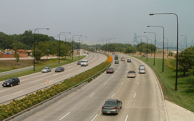
The Eisenhower Expressway at the Ashland Avenue Overpass looking east towards downtown. The 'Ike' as it is known locally, runs parallel to the CTA's Blue Line. Both connect the city to the western suburbs.
South Lake Shore Drive, looking north towards downtown.