Stikine River
Videos
Page
The Stikine River is a major river in northern British Columbia (BC), Canada and southeastern Alaska in the United States. It drains a large, remote upland area known as the Stikine Country east of the Coast Mountains. Flowing west and south for 610 kilometres (379 mi), it empties into various straits of the Inside Passage near Wrangell, Alaska. About 90 percent of the river's length and 95 percent of its drainage basin are in Canada. Considered one of the last truly wild large rivers in BC, the Stikine flows through a variety of landscapes including boreal forest, steep canyons and wide glacial valleys.

The Stikine River near Telegraph Creek, British Columbia (2005)
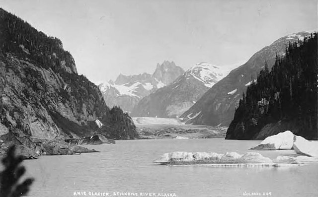
The Shakes Glacier (then known as Knig Glacier) along the lower Stikine River in Alaska (c. 1908)
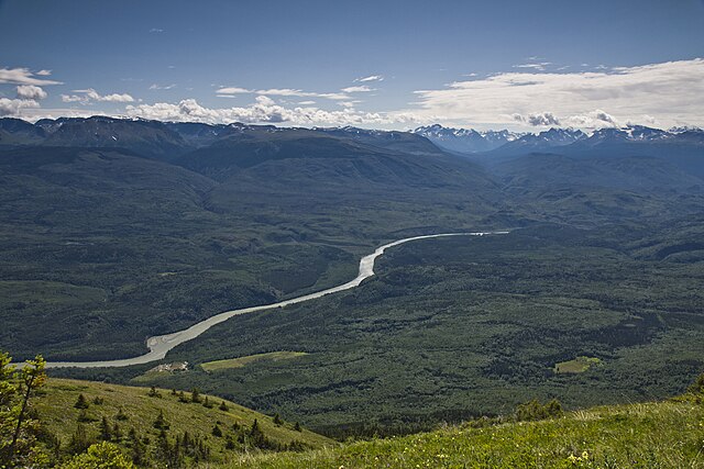
View of the Stikine River valley near Glenora, BC (2011)
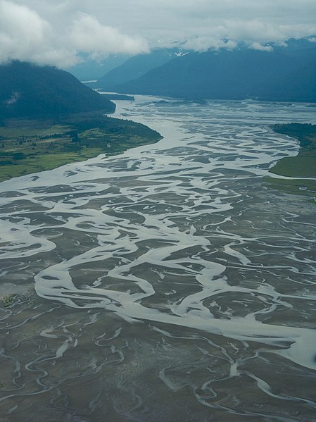
Braided channels of the Stikine River delta, Alaska (2008)
Southeast Alaska
Videos
Page
Southeast Alaska, often abbreviated to southeast or southeastern, and sometimes called the Alaska(n) panhandle, is the southeastern portion of the U.S. state of Alaska, bordered to the east and north by the northern half of the Canadian province of British Columbia. The majority of southeast Alaska is situated in Tlingit Aaní, much of which is part of the Tongass National Forest, the United States' largest national forest. In many places, the international border runs along the crest of the Boundary Ranges of the Coast Mountains. The region is noted for its scenery and mild, rainy climate.

A MODIS photograph of Southeast Alaska, February 2002. Border lines with Yukon and British Columbia have been artificially added.
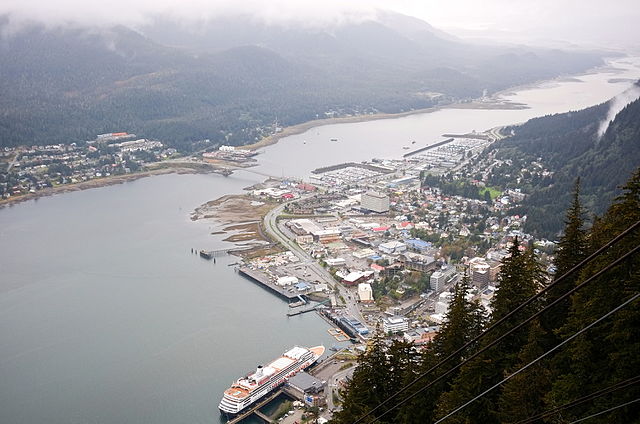
The City and Borough of Juneau, the most populous borough in southeast Alaska.
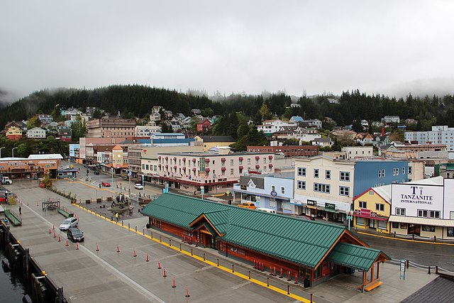
Ketchikan Gateway Borough, the second most populous borough in southeast Alaska.
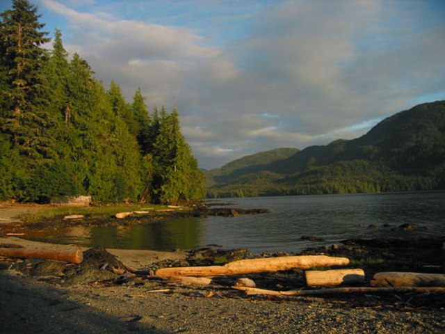
The Tongass National Forest, near Ketchikan