Studio zone
Videos
Photos
The studio zone, also known as the thirty-mile zone (TMZ), is an area defined by a 30-mile (48 km) radius of "Hollywood" used by the American entertainment industry to determine employee benefits for work performed inside and outside of it. Its center has traditionally been regarded as the southeast corner of Beverly Boulevard and La Cienega Boulevard in Los Angeles, California. The boundaries of the 30-mile (48 km) radius includes the southern, urbanized half of Los Angeles County, as well as parts of eastern Ventura County and northwestern Orange County.

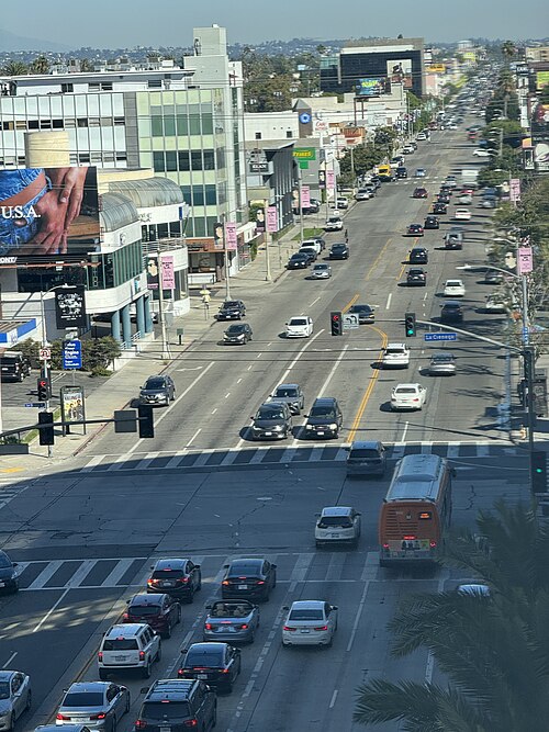
The intersection at the center of the studio zone: Beverly Boulevard and La Cienega Boulevard in Los Angeles (2008)
Beverly Boulevard with the La Cienega Boulevard intersection in the foreground (2023)
Beverly Boulevard
Videos
Photos
Beverly Boulevard is one of the main east–west thoroughfares in Los Angeles, in the U.S. state of California. It begins off Santa Monica Boulevard in Beverly Hills and ends on the Lucas Avenue overpass near downtown Los Angeles to become 1st Street. A separate Beverly Boulevard begins off 3rd Street and Pomona Boulevard in East Los Angeles, runs through Montebello and Pico Rivera, and becomes Turnbull Canyon Road in Whittier near Rose Hills Memorial Park.

Original Tommy's at the corner of Rampart and Beverly Blvd.

Belmont High School is located on Beverly Blvd. and Belmont Avenue
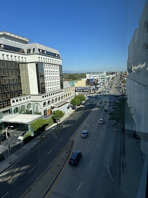
Image: 20231006 Beverly Boulevard from the Beverly Center 01
Image: 20231006 Beverly Boulevard from the Beverly Center 04