Sussex Border Path
Videos
Page
The Sussex Border Path is a long-distance footpath around the borders of Sussex, a historic county and former medieval kingdom in southern England. The main path is 150 miles (240 km) long and stays close to Sussex's borders with Hampshire, Surrey and Kent, connecting Thorney Island to Rye. There is also an additional 33-mile (53 km) spur known as the Mid Sussex Link, which links East Grinstead with Fishersgate and Mile Oak on the western boundary of the city of Brighton and Hove.

Blackdown is the highest point on the Sussex Border Path and in Sussex, January 2009

Great Deep separates Thorney Island from the mainland
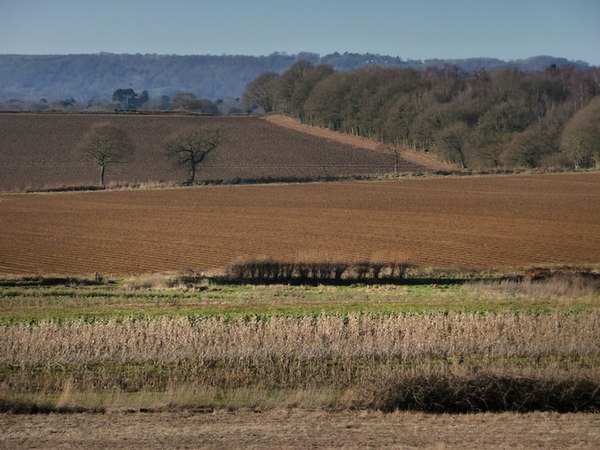
Farmland near Rogate

Near Blackdown
Brighton and Hove
Videos
Page
Brighton and Hove is a unitary authority with city status in East Sussex, England. There are multiple villages alongside the seaside resorts of Brighton and Hove in the district. It is administered by Brighton and Hove City Council, which is currently under Labour majority control.
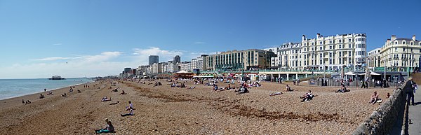
Image: Panorama of the West Beach, Brighton. panoramio
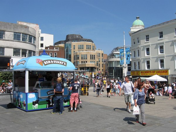
Image: Churchill Square geograph.org.uk 2537600
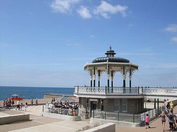
Image: Brighton Bandstand geograph.org.uk 2529602

Image: Peace Statue, Brighton & Hove geograph 3419867 by Paul Gillett