TOPEX/Poseidon was a joint satellite altimeter mission between NASA, the U.S. space agency; and CNES, the French space agency, to map ocean surface topography. Launched on August 10, 1992, it was the first major oceanographic research satellite. TOPEX/Poseidon helped revolutionize oceanography by providing data previously impossible to obtain. Oceanographer Walter Munk described TOPEX/Poseidon as "the most successful ocean experiment of all time." A malfunction ended normal satellite operations in January 2006.
Artist's rendering of the TOPEX/Poseidon satellite.
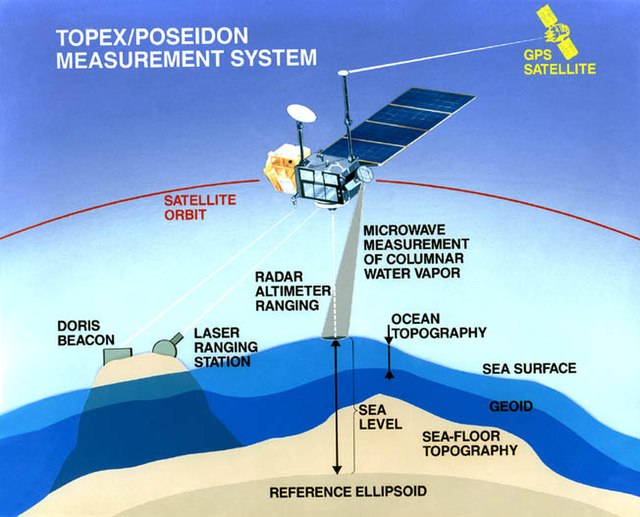
The accurate determination of the ocean height is made by first characterizing the precise height of the spacecraft above the center of the Earth.
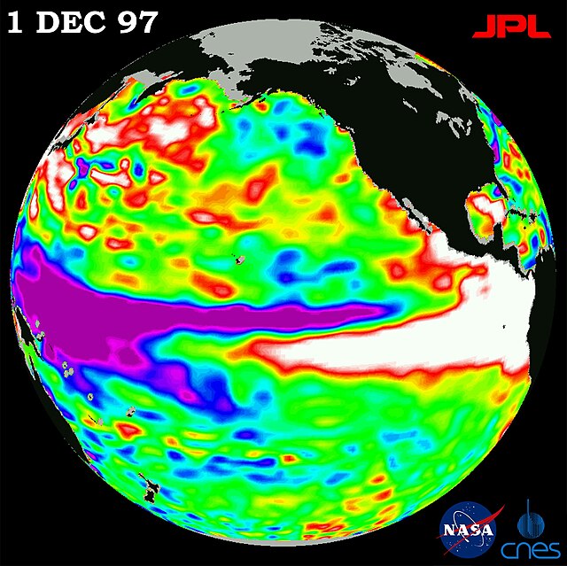
The 1997-98 El Nino
Jason-1 continued the same sea surface measurements begun by TOPEX/Poseidon, later succeeded by the Ocean Surface Topography Mission on Jason-2, and then Jason-3.
Satellite geodesy is geodesy by means of artificial satellites—the measurement of the form and dimensions of Earth, the location of objects on its surface and the figure of the Earth's gravity field by means of artificial satellite techniques. It belongs to the broader field of space geodesy. Traditional astronomical geodesy is not commonly considered a part of satellite geodesy, although there is considerable overlap between the techniques.
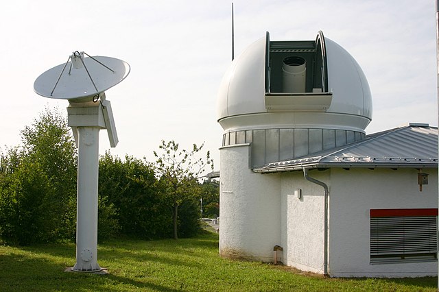
Wettzell Laser Ranging System, a satellite laser ranging station
Artist's conception of GRACE
This graph shows the rise in global sea level (in millimeters) measured by the NASA/CNES ocean altimeter mission TOPEX/Poseidon (on the left) and its follow-on mission Jason-1. Image credit: University of Colorado