Taft is a city in the foothills at the extreme southwestern edge of the San Joaquin Valley, in Kern County, California. Taft is located 32 miles (51 km) west-southwest of Bakersfield, at an elevation of 955 feet (291 m). The population was 9,327 at the 2010 census. According to the United States Census Bureau, the city has a total area of 15.1 square miles (39.1 km2).
The Fort, a replica of Sutter's Fort in Sacramento, is on the National Register of Historic Places.
1917 wooden derrick. This oil well produced into the 1980s, and the operator then donated the old derrick and three acres of land to found the West Kern Oil Museum.
Taft oil well blow-out at a Standard Oil well, ca. 1920. Around 20,000 barrels of oil were spilled.
The Fox Theatre, downtown Taft.
The San Joaquin Valley is the southern half of California's Central Valley. Famed as a major breadbasket, the San Joaquin Valley is an important source of food, producing a significant part of California's agricultural output.
San Joaquin Valley
Millerton Lake, supplied by the Madera Canal and Friant-Kern Canal.
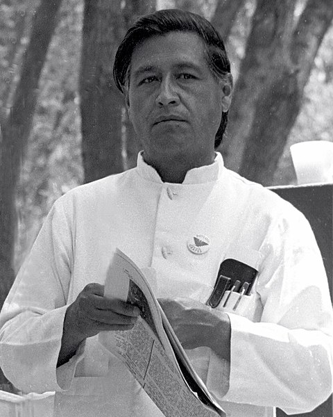
César Chávez at a United Farmworkers rally, 1974
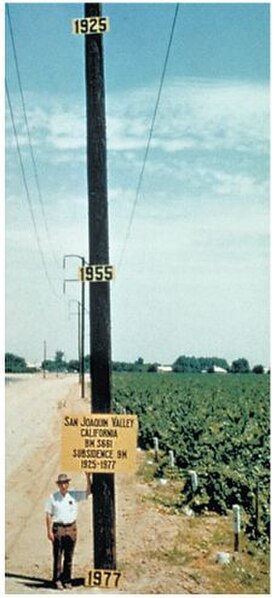
Signs on pole show approximate altitude of land surface in 1925, 1955, and 1977


