Taupō Rift
Videos
Photos
The Taupō Rift is the seismically active rift valley containing the Taupō Volcanic Zone, central North Island of New Zealand.

Intra-arc continental rifts North Island, New Zealand. Red approximately delineates the active modern Taupō Rift, yellow the inactive old Taupō Rift, and purple the still active Hauraki Rift. The rifts intersect in an area where volcanic deposits over 2 million years have buried non active fault systems. There is very complex active normal faulting in the Taupō Rift aligned mainly (apart from at the inland termination of the rift) with the rift alignment.
Taupō Volcanic Zone
Videos
Photos
The Taupō Volcanic Zone (TVZ) is a volcanic area in the North Island of New Zealand that has been active for at least the past two million years and is still highly active.
Mount Ruapehu marks its south-western end and the zone runs north-eastward through the Taupō and Rotorua areas and offshore into the Bay of Plenty. It is part of a larger Central Volcanic Region that extends to the Coromandel Peninsula and has been active for four million years. The zone is contained within the tectonic intra-arc continental Taupō Rift and this rift volcanic zone is widening unevenly east–west with the greatest rate of widening at the Bay of Plenty coast, the least at Mount Ruapehu and a rate of about 8 mm (0.31 in) per year at Taupō. The zone is named after Lake Taupō, the flooded caldera of the largest volcano in the zone, the Taupō Volcano and contains a large central volcanic plateau as well as other landforms.

Mount Ngauruhoe

Whakaari / White Island
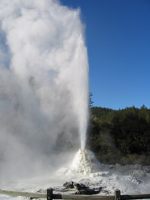
Lady Knox Geyser, Waiotapu geothermal area

In 1886, Mount Tarawera produced New Zealand's largest historic eruption since European colonisation