Te Atatū Peninsula
Videos
Page
Te Atatū Peninsula is a waterfront suburb of West Auckland surrounded by the Waitematā Harbour. The area was home to brickworks and farmland until the Northwestern Motorway was constructed in the 1950s, after which Te Atatū developed a low and medium-cost suburb. The area south of the motorway became known as Te Atatū South. The Auckland Harbour Board intended to develop a port on the peninsula for much of the 20th century. After plans for this were abandoned, the land was redeveloped into Footrot Flats Fun Park, an amusement park which operated in the 1980s. During the late 2010s, large-scale housing intensification led to the population of Te Atatū greatly expanding.

Taipari Strand, Te Atatū Peninsula

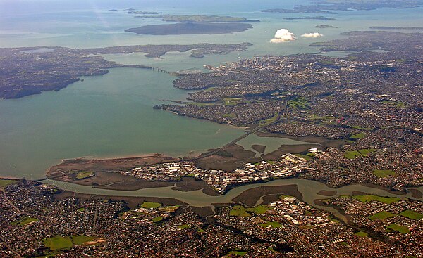
A beach in Te Atatū Peninsula overlooking the Auckland isthmus and skyline

The destruction of the Henderson Brick and Tile Syndicate chimney in 1920

Aerial view of Te Atatū in 1951, prior to the construction of the Northwestern Motorway
West Auckland, New Zealand
Videos
Page
West Auckland is one of the major geographical areas of Auckland, the largest city in New Zealand. Much of the area is dominated by the Waitākere Ranges, the eastern slopes of the Miocene era Waitākere volcano which was upraised from the ocean floor, and now one of the largest regional parks in New Zealand. The metropolitan area of West Auckland developed between the Waitākere Ranges to the west and the upper reaches of the Waitematā Harbour to the east. It covers areas such as Glen Eden, Henderson, Massey and New Lynn.

Metropolitan West Auckland captured by a Planet Labs satellite in 2016
The Whau River has often been used as a border between western and central Auckland
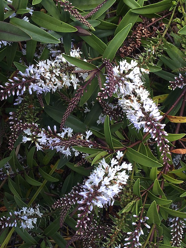
The Waitākere rock koromiko, Veronica bishopiana, is endemic to the Waitākere Ranges

Many early settlements in West Auckland were along the west coast beaches (pictured: Karekare)