The Territory of Hawaii or Hawaii Territory was an organized incorporated territory of the United States that existed from April 30, 1900, until August 21, 1959, when most of its territory, excluding Palmyra Island, was admitted to the United States as the 50th U.S. state, the State of Hawaii. The Hawaii Admission Act specified that the State of Hawaii would not include Palmyra Island, the Midway Islands, Kingman Reef, and Johnston Atoll, which includes Johnston Island and Sand Island.
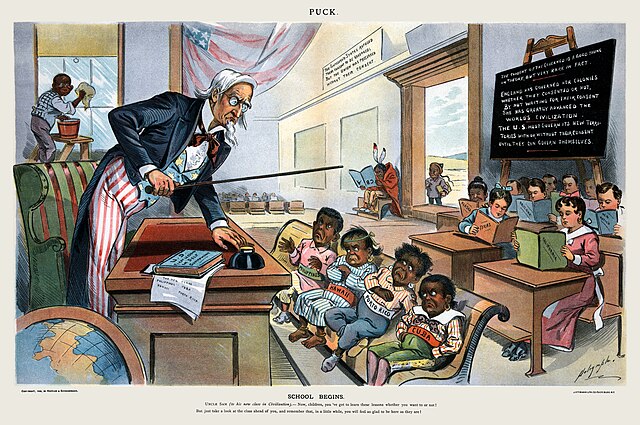
Cartoon depicting the United States, its territories, and U.S. controlled regions as a classroom with belligerent Philippines, Hawaii, Puerto Rico, and Cuba
Matson Navigation Company advertised Hawaii as a tourist destination for the first time in the late 1890s.
All islands voted at least 93 percent in favor of Admission acts. Ballot (inset) and referendum results for the Admission Act of 1959.
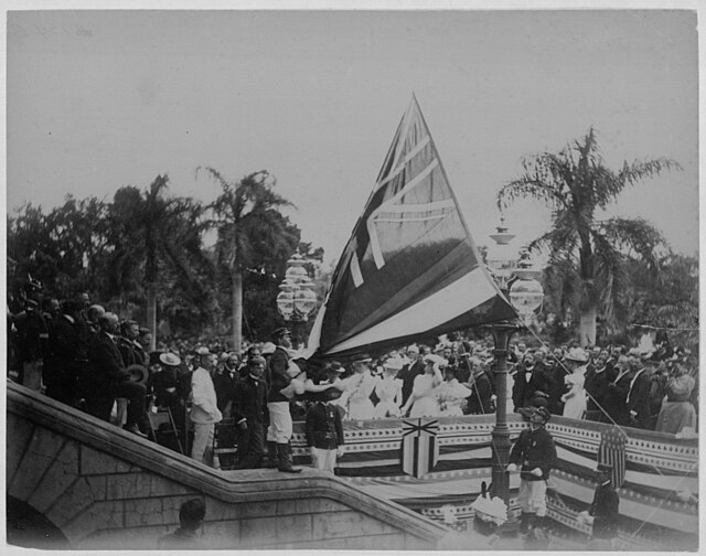
Image: Lowering the Hawaiian flag at Annexation ceremony (PPWD 8 3 006)
Palmyra Atoll, also referred to as Palmyra Island, is one of the Northern Line Islands. It is located almost due south of the Hawaiian Islands, roughly one-third of the way between Hawaii and American Samoa. North America is about 3,300 miles northeast and New Zealand the same distance southwest, placing the atoll at the approximate center of the Pacific Ocean. The land area is 4.6 sq mi (12 km2), with about 9 miles (14 km) of sea-facing coastline and reef. There is one boat anchorage, known as West Lagoon, accessible from the sea by a narrow artificial channel and an old airstrip; during WW2 it was turned into Naval Air Station for several years and used for training and refueling. It was shelled by a submarine in December 1941, but was not the site of a major battle.
Coconut palms on Strawn Island at Palmyra Atoll
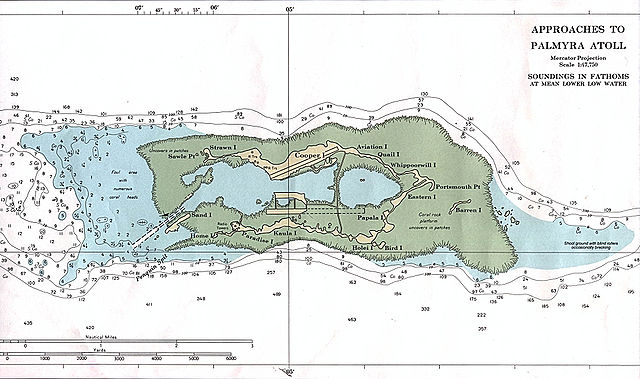
Palmyra Atoll – NOAA Nautical Chart (1:47,500), with many named features.
Welcome sign for Palmyra Atoll, June 2005
Palmyra's North Beach


