State Highway 54 is a 55.2-mile (88.8 km) highway maintained by the Texas Department of Transportation (TxDOT) that runs from Interstate 10 and U.S. Route 90 in Van Horn north to US 62 and US 180 between Salt Flat and Pine Springs near Guadalupe Mountains National Park. The route, located in western Culberson County, is largely isolated passing through no cities or towns beyond Van Horn and intersecting no other highways between Van Horn and its northern terminus. Within Van Horn, the route has intersections with Business Interstate 10-D and Farm to Market Road 2185.
Guadalupe Mountains viewed from SH 54
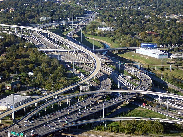
Interstate 10 (I-10) is the major east–west Interstate Highway in the Southern United States. In the U.S. state of Texas, it runs east from Anthony, at the border with New Mexico, through El Paso, San Antonio, and Houston to the border with Louisiana in Orange. At just under 880 mi (1,420 km), the Texas segment of I-10, maintained by the Texas Department of Transportation, is the longest continuous untolled freeway in North America that is operated by a single authority. It is also the longest stretch of Interstate Highway with a single designation within a single state. Mile marker 880 and its corresponding exit number in Orange, Texas, are the highest-numbered mile marker and exit on any freeway in North America. Since widening was completed in 2008, a portion of the highway west of Houston is now also believed to be the widest in the world, at 26 lanes when including feeders.
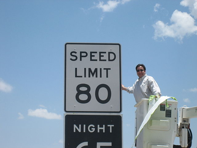
Texas State Rep. Pete Gallego unveiling a new 80 mph (130 km/h) speed limit sign on I-10 near Fort Stockton
I-10 as an elevated freeway as it runs concurrently with I-35 in Downtown San Antonio.
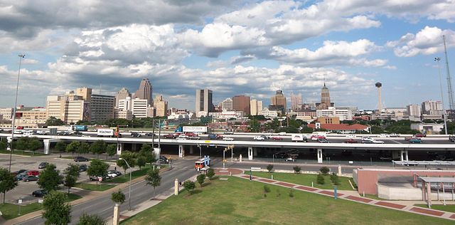
I-45 and I-10/US 90 near Downtown Houston
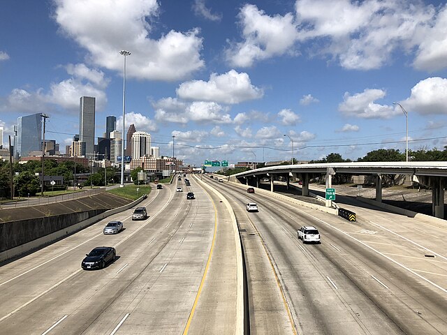
I-10 westbound passing downtown Houston