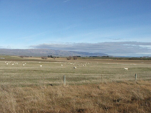
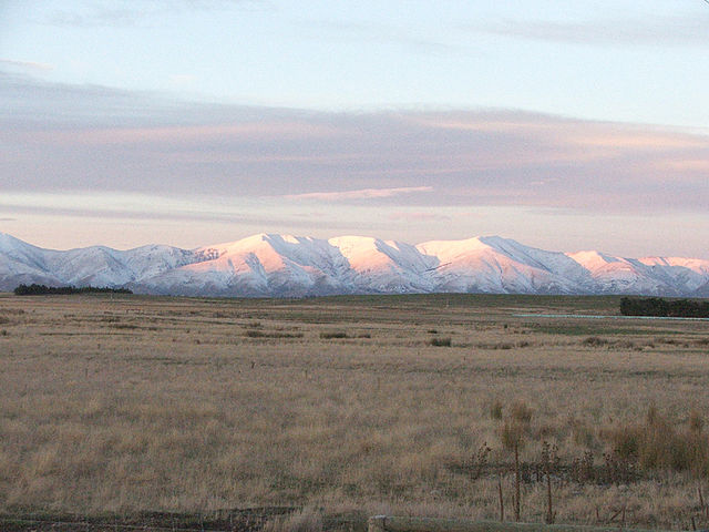
The Maniototo Plain, usually simply known as The Maniototo, is an elevated inland region in Otago, New Zealand. The region roughly surrounds the upper reaches of the Taieri River and the Manuherikia River. It is bounded by the Kakanui Range to the north and the Rock and Pillar Range to the southeast. It has a harsh, dry climate, ranging from over 30 °C in mid-summer to -15 °C in mid-winter.
Looking southwest across the Maniototo towards Rough Ridge from near Ranfurly
The Kakanui Range dominates the eastern horizon of the Maniototo
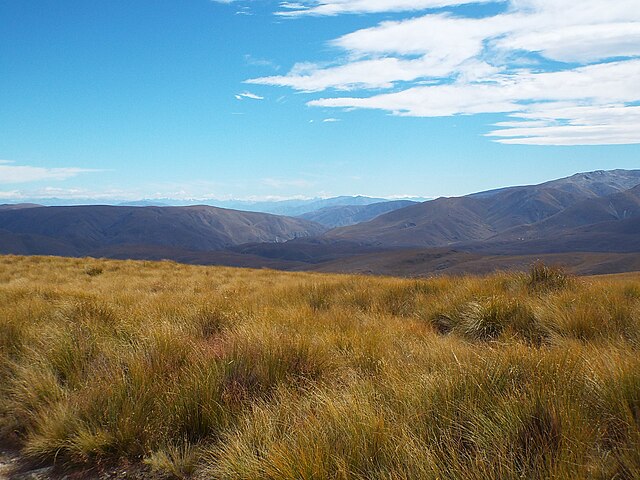
Tussock landscape of the Oteake Conservation Park from the side of the Maniototo
Otago is a region of New Zealand located in the southern half of the South Island administered by the Otago Regional Council. It has an area of approximately 32,000 square kilometres (12,000 sq mi), making it the country's second largest local government region. Its population was 254,600 in June 2023.
Arrowtown, a historic mining town
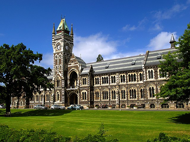
The University of Otago, New Zealand's oldest university
Autumn 2004 in Otago
Aerial photo of Beaumont area in Otago, looking southwest. State Highway 8 runs from left to right across the photo (only visible in the right half), and crosses the Clutha River just below centre.