The Pas is a town in Manitoba, Canada, at the confluence of the Pasquia River and the Saskatchewan River and surrounded by the unorganized Northern Region of the province. It is approximately 520 kilometres (320 mi) northwest of the provincial capital, Winnipeg, and 35 kilometres (22 mi) from the border of Saskatchewan. It is sometimes still called Paskoyac by locals after the first trading post, called Fort Paskoya, constructed in the 1740s by French and Canadian traders. The Pasquia River begins in the Pasquia Hills in east central Saskatchewan. The French in 1795 knew the river as Basquiau.
Welcome sign
Seal
The Sam Waller Museum, downtown The Pas.
Manitoba Highway 10 crosses the Saskatchewan River at The Pas, part of the Northern Woods and Water Route.
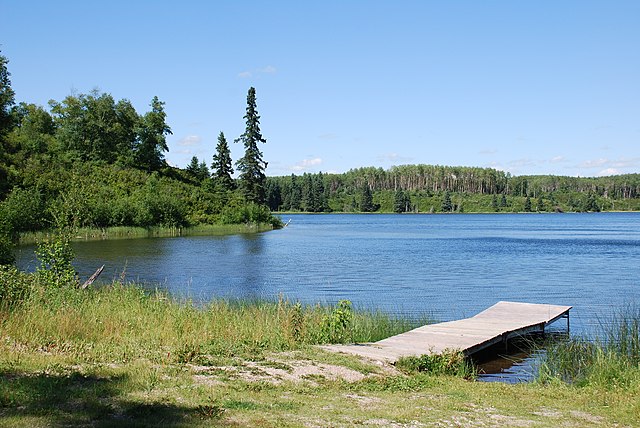
Manitoba is a province of Canada at the longitudinal centre of the country. It is Canada's fifth-most populous province, with a population of 1,342,153 as of 2021. Manitoba has a widely varied landscape, from arctic tundra and the Hudson Bay coastline in the north to dense boreal forest, large freshwater lakes, and prairie grassland in the central and southern regions.
Crowds gathering outside the old City Hall during the Winnipeg general strike, 21 June 1919
Aerial view of the Red River Floodway
Deep Lake at Riding Mountain National Park
Polar bears are common in northern Manitoba.