The Wrekin is a hill in east Shropshire, England. It is located some five miles (8 km) west of Telford, on the border between the unitary authorities of Shropshire and Telford and Wrekin. Rising above the Shropshire Plain to a height of 407 metres (1,335 ft) above sea level, it is a prominent and well-known landmark, signalling the entrance to Shropshire for travellers westbound on the M54 motorway. The Wrekin is contained within the northern salient of the Shropshire Hills AONB. The hill is popular with walkers and tourists and offers good views of Shropshire. It can be seen well into Staffordshire and the Black Country, and even as far as the Beetham Tower in Manchester, Winter Hill in Lancashire and Cleeve Hill in Gloucestershire.
The Wrekin
The A5 dual carriageway near Wellington viewed from the northern side of the Wrekin. The heavily forested Haughmond Hill is located behind it.
The summit of the Wrekin with its trig point, toposcope (viewfinder) and radio tower.
Wooden godhead idol at Eallhālig Temple, The Wrekin, a holy area for local Heathens.
Shropshire is a ceremonial county in the West Midlands of England, on the Welsh border. It is bordered by Wrexham County Borough and Cheshire to the north, Staffordshire to the east, Worcestershire to the south-east, Herefordshire to the south and Powys to the west. The largest settlement is Telford, and Shrewsbury is the county town.
Image: Church Stretton beyond Townbrook Valley, Long Mynd, Shropshire
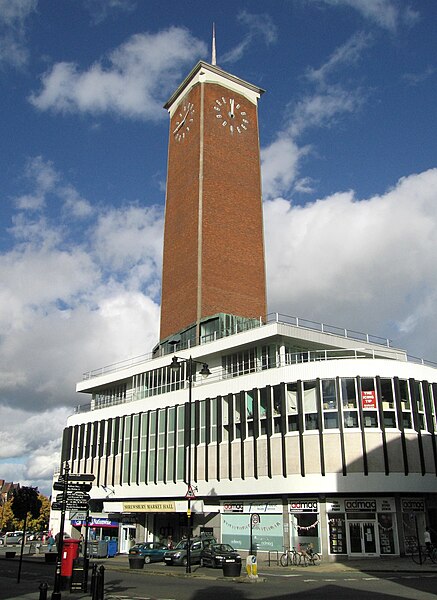
Image: Shrewsbury Market Hall and clock tower geograph.org.uk 3711724
Image: The Iron Bridge, Side Angled View
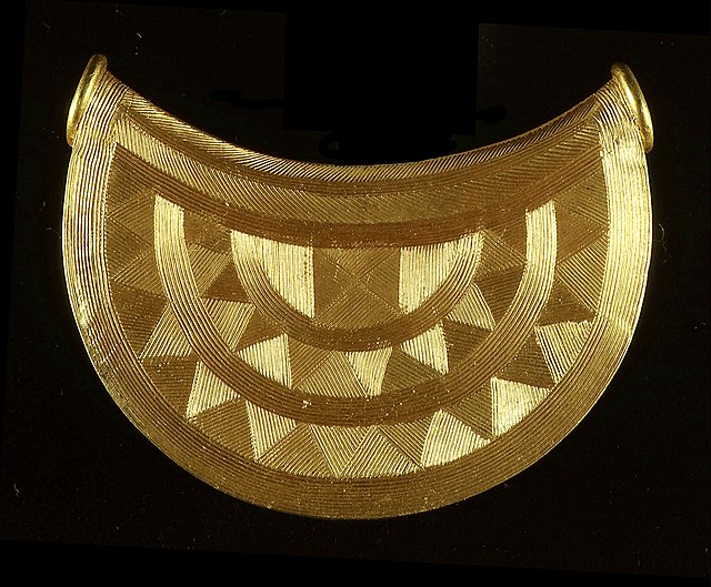
The Shropshire bulla or sun pendant


