Thornton is a village in the Borough of Wyre, about 4 miles (6 km) north of Blackpool and 2 miles (3 km) south of Fleetwood. The civil parish of Thornton became an urban district in 1900, and was renamed Thornton-Cleveleys in 1927. In 2011 the Thornton built-up area sub division had a population of 18,941.
Marsh Mill, on Fleetwood Road
The former site of Thornton for Cleveleys railway station
Sacred Heart Roman Catholic Church
Christ Church, parish church
Wyre is a local government district with borough status on the coast of Lancashire, England. The council is based in Poulton-le-Fylde and the borough also contains the towns of Cleveleys, Fleetwood, Garstang, Preesall and Thornton, along with numerous villages and surrounding rural areas. Some of the borough's built-up areas form part of the wider Blackpool urban area. Eastern parts of the borough lie within the Forest of Bowland, a designated Area of Outstanding Natural Beauty.
Borough of Wyre
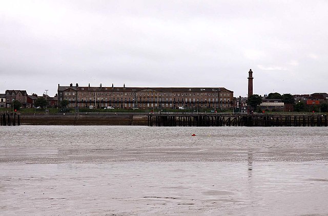
Image: Looking across the Wyre estuary to Fleetwood geograph.org.uk 3139781
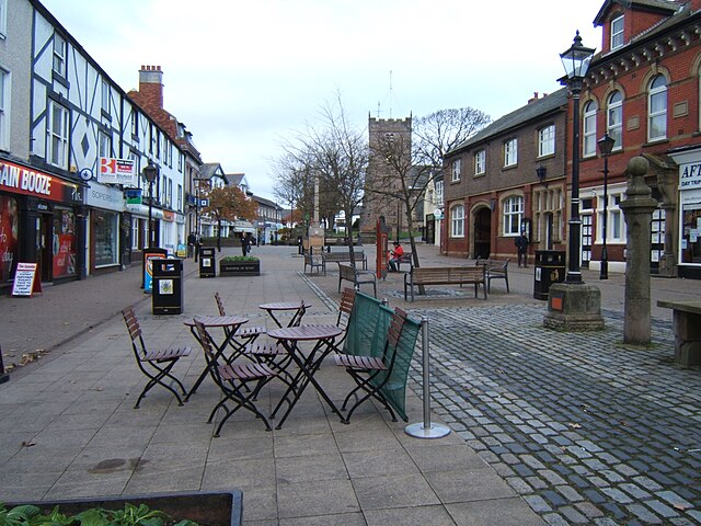
Image: Shopping area, Poulton le Fylde geograph.org.uk 3314708
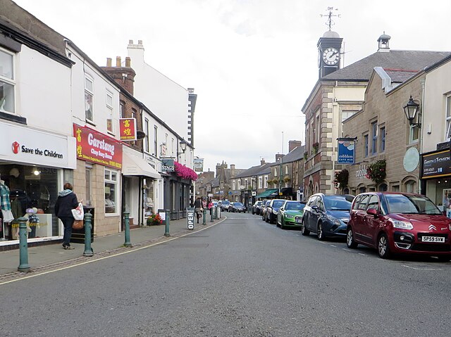
Image: High Street, Garstang geograph.org.uk 5067356