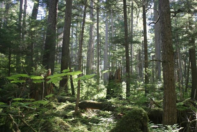
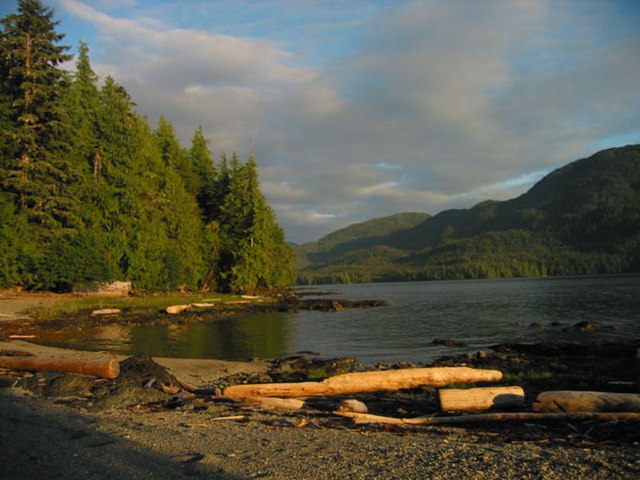
The Tongass National Forest in Southeast Alaska is the largest U.S. National Forest at 16.7 million acres. Most of its area is temperate rain forest and is remote enough to be home to many species of endangered and rare flora and fauna. The Tongass, which is managed by the United States Forest Service, encompasses islands of the Alexander Archipelago, fjords and glaciers, and peaks of the Coast Mountains. An international border with Canada runs along the crest of the Boundary Ranges of the Coast Mountains. The forest is administered from Forest Service offices in Ketchikan. There are local ranger district offices located in Craig, Hoonah, Juneau, Ketchikan, Petersburg, Sitka, Thorne Bay, Wrangell, and Yakutat.
The Tongass National Forest near Ketchikan, Alaska
The Tongass National Forest
A stream in the forest
Misty Fjords Waterfall and kayak
Southeast Alaska, often abbreviated to southeast or southeastern, and sometimes called the Alaska(n) panhandle, is the southeastern portion of the U.S. state of Alaska, bordered to the east and north by the northern half of the Canadian province of British Columbia. The majority of southeast Alaska is situated in Tlingit Aaní, much of which is part of the Tongass National Forest, the United States' largest national forest. In many places, the international border runs along the crest of the Boundary Ranges of the Coast Mountains. The region is noted for its scenery and mild, rainy climate.
A MODIS photograph of Southeast Alaska, February 2002. Border lines with Yukon and British Columbia have been artificially added.
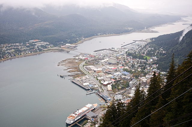
The City and Borough of Juneau, the most populous borough in southeast Alaska.
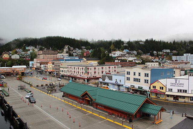
Ketchikan Gateway Borough, the second most populous borough in southeast Alaska.
The Tongass National Forest, near Ketchikan