Torbane was a privately-owned village lying within the area now known as Capertee, in the Local Government Area of the City of Lithgow, within the Central West region of New South Wales, Australia. There was also another village, Airly, nearby. Both villages were associated with the mining of oil shale. The mine associated with Torbane was known as the New Hartley Mine. and that associated with Airly was known as the Genowlan Mine. There were retorts that produced crude shale oil at Torbane. Both Torbane and Airly are now ghost towns.
Newly-completed Pumpherson retorts, with a train of oil tanker wagons in the foreground, Torbane, 1908.
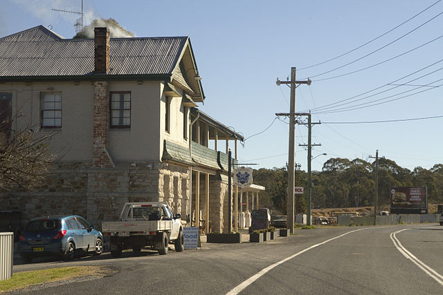
Capertee, New South Wales
Capertee pronounced is a village 46 km north of Lithgow, New South Wales, Australia. It is on an elevated site above the Capertee Valley. In 2016, the township had a population of 145 people. The Castlereagh Highway links Capertee with Lithgow to the south and Mudgee to the north. The township is surrounded by National Parks and grazing land. Principal employment is in coal mining, farming and tourism-related services. The Capertee Valley forms a part of the catchment area of the Hawkesbury River, but the village lies very close to the Great Divide watershed, with the Turon River catchment nearby to its west.
The Royal Hotel, Capertee.