The Tucson Mountains are a minor mountain range west of Tucson, Arizona, United States. The Tucson Mountains, including Wasson Peak, are one of four notable mountain ranges surrounding the Tucson Basin. The Santa Catalina Mountains lie to the northeast, the Rincon Mountains are to the east of Tucson, and the Santa Rita Mountains lie to the south. Additionally, the Sierrita Mountains lie due south, the Roskruge Mountains lie to the west across Avra Valley, the Silver Bell Mountains lie to the northwest, and the Tortolita Mountains lie to the north across the Santa Cruz Valley.
Wasson Peak is the highest point in the Tucson Mountains. Unlike what this picture shows, snow is extremely rare in these mountains, especially in the amount seen here.
View across the Tucson Basin towards Tumamoc Hill (left) and "A" Mountain (right), which can be seen in the center of the background.
Sonoran Desert vegetation at Gates Pass.
Sunset over the Tucson Mountains.
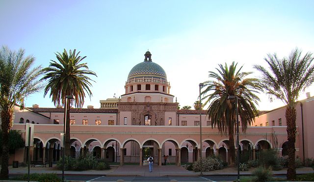
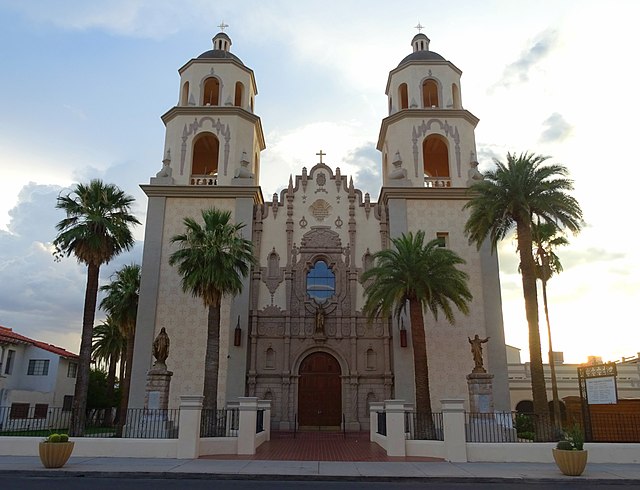
Tucson is a city in and the county seat of Pima County, Arizona, United States, and is home to the University of Arizona. It is the second-largest city in Arizona behind Phoenix, with a population of 542,629 in the 2020 United States census, while the population of the entire Tucson metropolitan statistical area (MSA) is 1,043,433. The Tucson MSA forms part of the larger Tucson-Nogales combined statistical area. Both Tucson and Phoenix anchor the Arizona Sun Corridor. The city is 108 miles (174 km) southeast of Phoenix and 60 mi (100 km) north of the United States–Mexico border.
Image: View of Tucson from Sentinel Peak 2
Image: Morecourthouse
Image: Arizona Uni fountain
Image: Downtown Tucson panoramio