Tutuila is the largest and most populous island of American Samoa and is part of the archipelago of the Samoan Islands. It is the third largest island in the Samoan Islands chain of the Central Pacific. It is located roughly 4,000 kilometers (2,500 mi) northeast of Brisbane, Australia and lies over 1,200 kilometers (750 mi) to the northeast of Fiji. It contains a large, natural harbor, Pago Pago Harbor, where Pago Pago, the capital of American Samoa, is situated. Pago Pago International Airport is also located on Tutuila. The island's land expanse is about 68% of the total land area of American Samoa. With 56,000 inhabitants, it is also home to 95% of the population of American Samoa. The island has six terrestrial and three marine ecosystems.
Tutuila and Aunu'u from Earth orbit
Peter Tali Coleman, the first Samoan-born governor of Tutuila and American Samoa
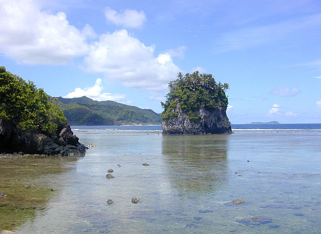
Fatu Rock (or Flower Pot Rock) in the reef of Tutuila at the entrance to Pago Pago Harbor in American Samoa
Matafao Peak, highest peak on Tutuila Island.
American Samoa is an unincorporated territory of the United States located in the South Pacific Ocean, southeast of the island country of Samoa. Centered on 14.3°S 170.7°W, it is east of the International Date Line and the Wallis and Futuna Islands, west of the Cook Islands, north of Tonga, and some 500 kilometers (310 mi) south of Tokelau. American Samoa is the southernmost territory of the United States and one of two U.S. territories south of the Equator, along with the uninhabited Jarvis Island.
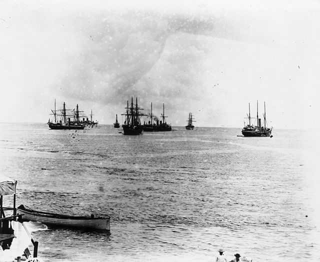
German, British and American warships in Apia Harbor, Samoa, 1899
Tuimanuʻa Elisala Alalamua, the last official titleholder of Tui Manuʻa (1899–1909)
Rear Admiral Benjamin Franklin Tilley, the first Governor of American Samoa (1900–1901)
Commander John Martin Poyer served as the 12th Governor of American Samoa (1915–1919).