U.S. Route 13 in Virginia
U.S. Route 13 (US 13) is a north–south United States Numbered Highway established in 1926 that runs for 518 miles (834 km) from Interstate 95 (I-95) just north of Fayetteville, North Carolina, north to US 1 in Morrisville, Pennsylvania, a northeastern suburb of Philadelphia. In the U.S. state of Virginia, US 13 runs north–south through the Hampton Roads and Eastern Shore regions of the state, using the Chesapeake Bay Bridge–Tunnel to get between the two. In the Hampton Roads area, it uses Military Highway to bypass the city centers. It is most usually a four-lane highway, sometimes up to freeway or expressway standards with controlled access.
US 13 southbound along Whaleyville Boulevard in Suffolk
US 13/SR 166 southbound at the I-64 interchange in Norfolk
The Chesapeake Bay Bridge–Tunnel carries US 13 across the Chesapeake Bay
View south along US 13 at US 13 Bus. near Eastville in Northampton County
Eastern Shore of Virginia
The Eastern Shore of Virginia is the easternmost region of the Commonwealth of Virginia in the United States. It consists of two counties on the Atlantic coast. It is detached from the mainland of Virginia by the Chesapeake Bay. The 70-mile-long (110 km) region is part of the Delmarva Peninsula. Its population was 45,695 as of 2020.
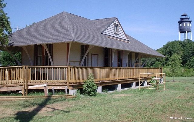
Bloxom depot, Cape Charles, Virginia
The Chesapeake Bay Bridge–Tunnel, which connects the Eastern Shore to the Hampton Roads area


