U.S. Route 29 in Virginia
Videos
Photos
U.S. Route 29 (US 29) is a major north–south route in the commonwealth of Virginia. It covers 248.0 miles (399.1 km) from the North Carolina border at the city of Danville to the Key Bridge in Washington DC. US 29 roughly bisects Virginia into eastern and western halves and, along with Interstate 81 (I-81) and US 11 in western Virginia and I-85/I-95 as well as US 1 farther east, provides one of the major north–south routes through the commonwealth.
US 29 entering Virginia from North Carolina

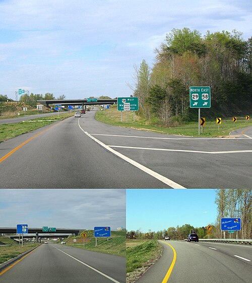
View north along US 29 at US 29 Bus. in Lovingston

US 29 outside of Gainesville

View south along US 29 (Lee Highway) at US 50 (Fairfax Boulevard) and SR 236 (Main Street) in Fairfax
Danville, Virginia
Videos
Photos
Danville is an independent city in the Commonwealth of Virginia in the United States. The city is located in the Southside Virginia region and on the fall line of the Dan River. It was a center of tobacco production and was an area of Confederate activity during the American Civil War, due to its strategic location on the Richmond and Danville Railroad. In April 1865 it briefly served as the third and final capital of the Confederacy before its surrender later that year.

Worsham Street Overlook, Main & Ridge St. Intersection, Masonic Building (River City Towers), Martin Luther King Jr. Memorial Bridge, Municipal Building from Union Street, Repurposed Dan River Fabrics "Home" Sign.(Clockwise from the Top)

The Dan River in downtown Danville

Danville was home to tobacco entrepreneur William T. Sutherlin. The city was sometimes called the "last capitol of the Confederacy"

Dan's Hill estate in western Danville